May 16, 2022
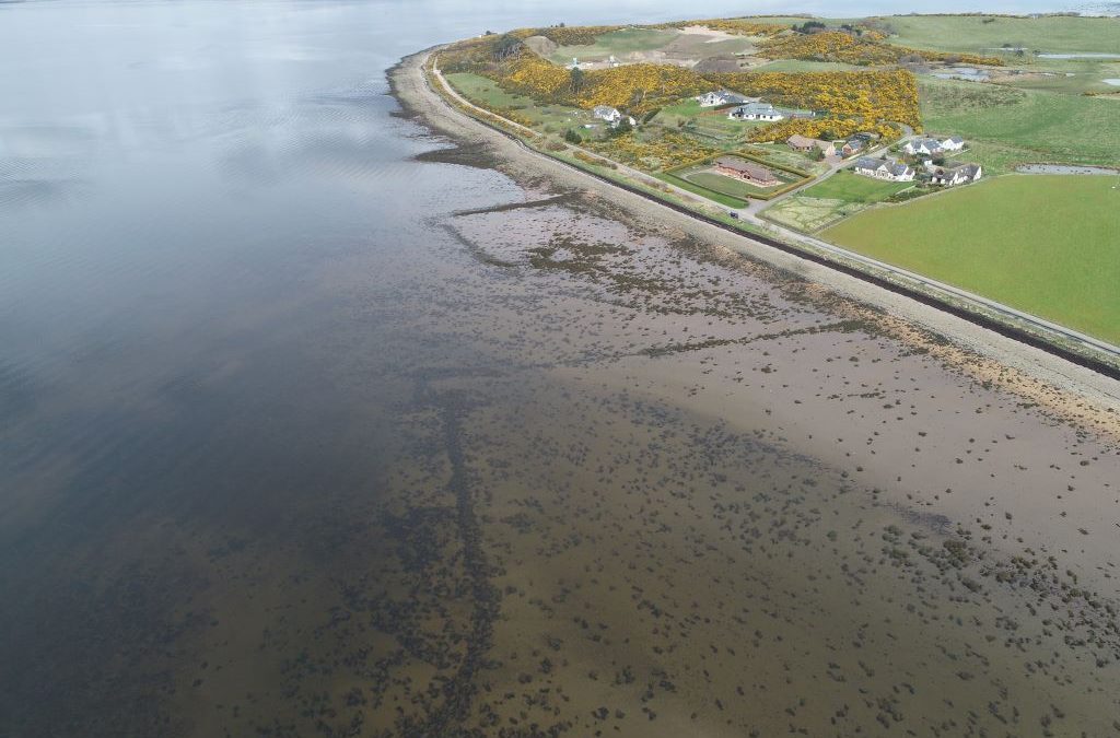
In April we kicked off our new Coastal Zone Assessment Survey of the south Moray Firth and Aberdeenshire coasts. Over two trips with local volunteers from NoSAS, we walked much of the coastline from Inverness to Culbin Forest. Along this stretch of coast, the low tide...
Oct 22, 2019
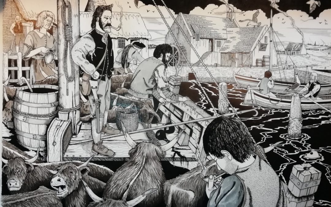
Excavation, survey, historical research Research by local historian John Reid first highlighted the archaeological and historical interest of Higgins Neuk on the south bank of the Forth. Placename evidence, documents and old maps pointed to this being the location of...
Oct 21, 2019
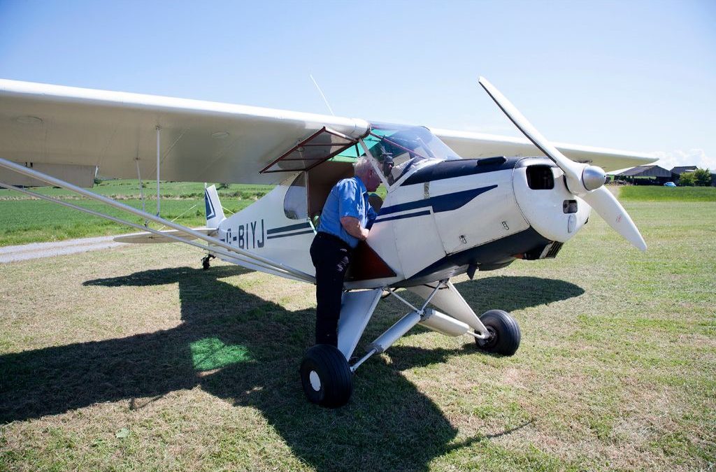
Aerial photography We are incredibly fortunate to have on board the UK Civil Air Patrol Lowland and Highland Units here in Scotland who have been flying stretches of coastline and individual sites for us. The UKCAP volunteers have been taking aerial photographs of...
Oct 21, 2019
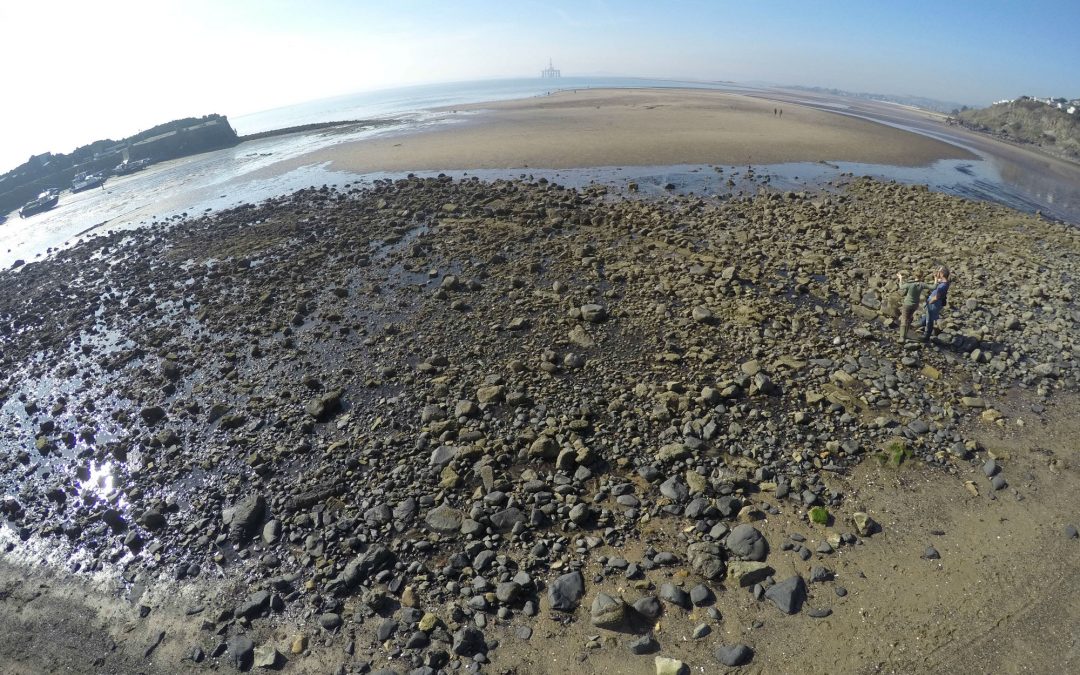
Survey and historical research In October 2015, shifting sand at Pettycur beach near Kinghorn in Fife revealed the outlines of a stone structure on the beach. The site is well-known locally. A cannon was discovered here in the 1990s, and small parts of the structure...
Oct 21, 2019
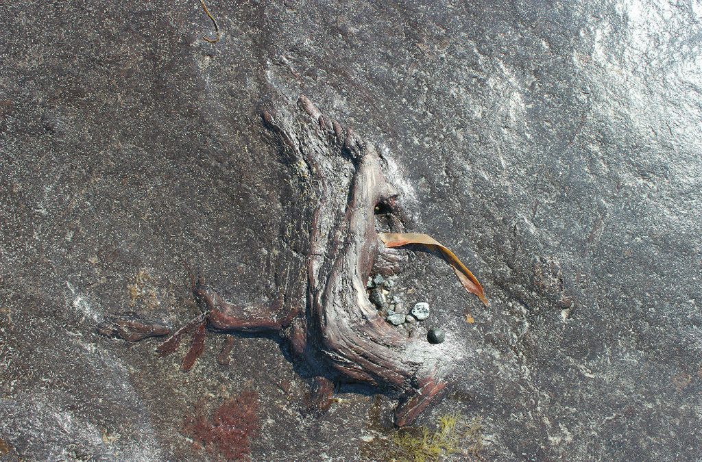
Survey, excavation, sampling Did you know one of the best examples of a submerged forest in Scotland can be found at Lionacleit on the Island of Benbecula? The site was brought to our attention by local residents, and during a glorious week in May 2018, we surveyed,...
Recent Comments