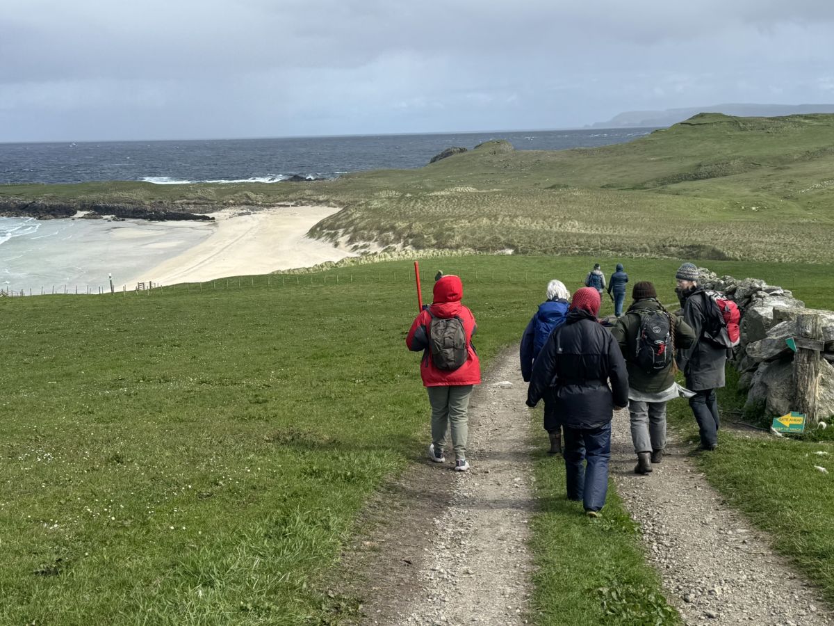
The stunning beach at Sands of Breckon is a magnet in North Yell for locals and visitors alike – but did you know that by taking a short walk around the headland you will discover a rich archaeological landscape of settlement, burials and historic structures.
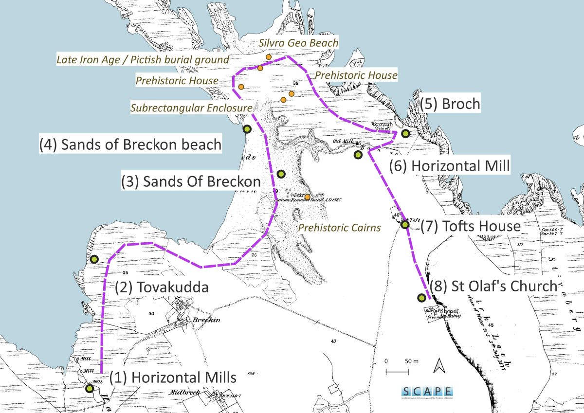
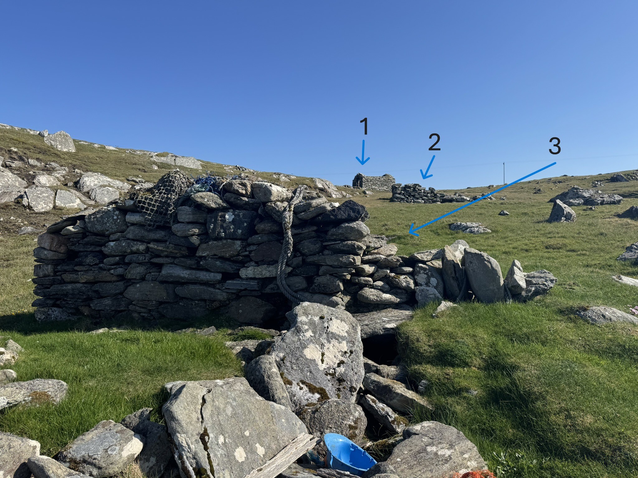
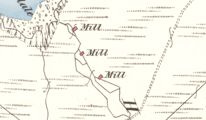
Our first stop is a collection of three horizontal mills spaced along the burn at Harpa Dale (1). It is common to find them in groups like this, making good use of fast flowing burns. Water was channeled under the buildings and turned a set of paddles. Enough of these three survive to see the upper and lower housings with square openings for the water flow. Introduced by the Norse they were used into the 20th century. Now they are mostly ruinous – but intact and/or working examples survive. You can visit one at the Crofthouse Museum in Dunrossness.
A short distance along the coast is another ingenious use of water power, a Tovakudda (2). This is a rock pool or cleft where cloth was secured and the motion of the sea strengthened and thickened it. They were used between the 12th to 17th centuries by Shetlanders. Place name and local history evidence has been used to find long-forgotten sites and tell the stories of these fascinating places!
Carrying on around the coast is the stunning Sands of Breckon (3). Erosion of the sand dunes and machair has revealed many outstanding archaeological sites. Five prehistoric burial mounds first recorded in the 19th century have either eroded away or have been buried beneath the shifting sands. Close by, excavations in 1985 of midden material near stone settings of prehistoric houses revealed pottery and stone bracelets dated to the late Bronze Age / Early Iron Age. Other scattered finds from the area have included loom weights and late medieval pottery.
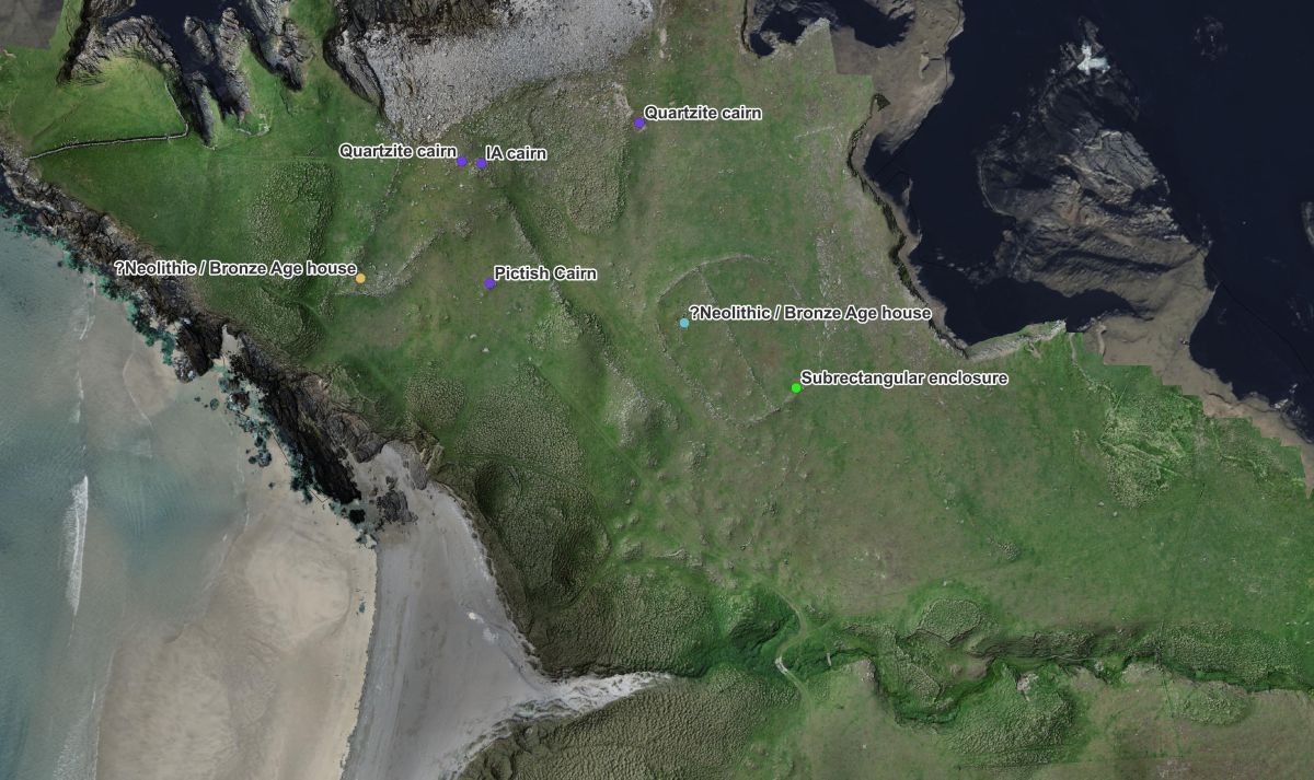
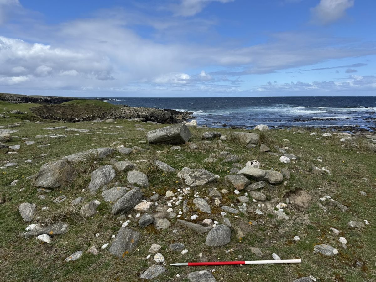
Near the storm beach at Silvra Geo, lies a cemetery where Iron Age communities buried their dead. One of our volunteers made an exciting discovery – quartz boulders positioned at the corners of a subrectangular cairn. The early medieval Picts are known for burying their dead in square and circular monuments in the 5th to 7th century, with particular emphasis on the corners of the squares.
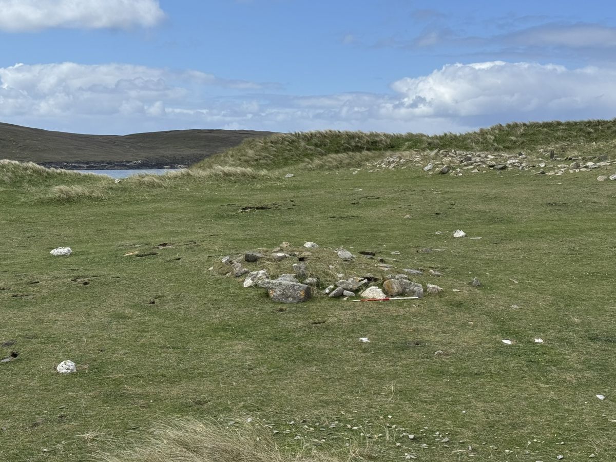
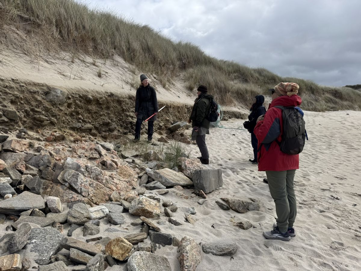
The archaeology at Sands of Breckon is exceptional. However, the sites are vulnerable to blowouts – sudden erosive events that strip away the protective machair and dunes. At the north end of Sands of Breckon beach erosion (4) is clearly visible. Sea erosion and dune blowouts have exposed layers of sand and fine gravel in the coastal section. This reflects the natural dynamics of the beach system, but due to the archaeology so close by, these dunes should be monitored for any changes.
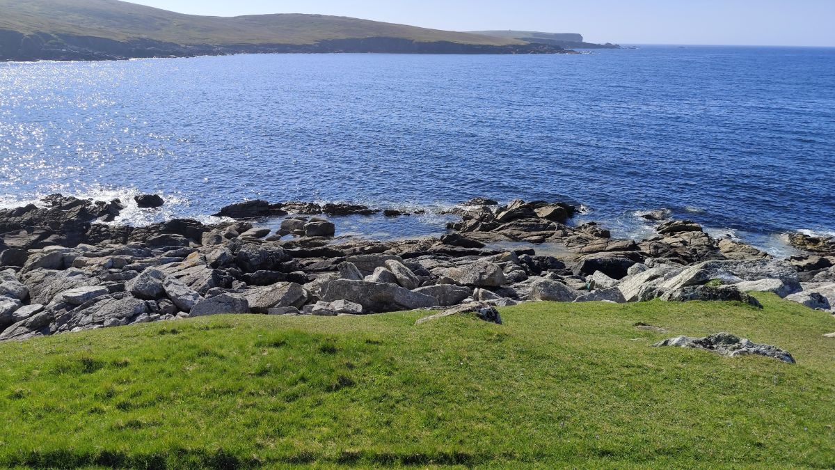
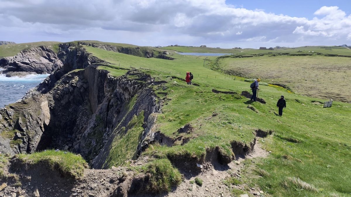
Carrying on with our walk we come to the site of a broch at Fillacomb point (5). There is not much to see here except the faint outer traces of the enclosing bank. This mostly eroded broch was recorded by the Ordnance Survey in the late 19th century and since then almost all is gone. Here the coastline is exposed to the very high energy of the North Atlantic Ocean battering against the rock. Be careful walking along cliffy coasts!
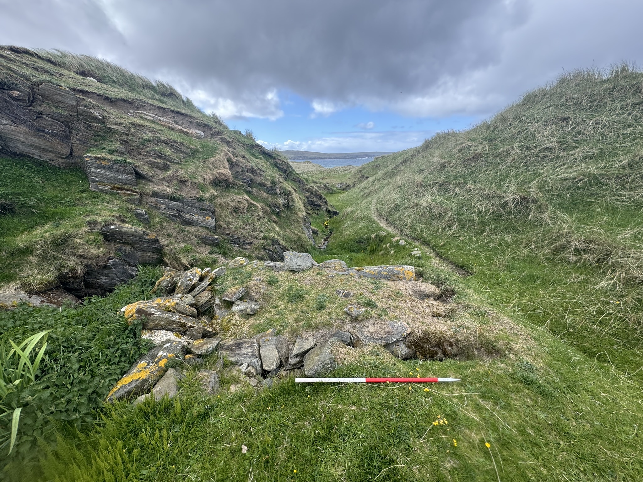
Avoiding the cliffs, we headed inland where we encountered the remains of another horizontal mill on the Burn of Toft (6). While the upper mill building itself no longer survives, the platform and the lower housing are still visible.
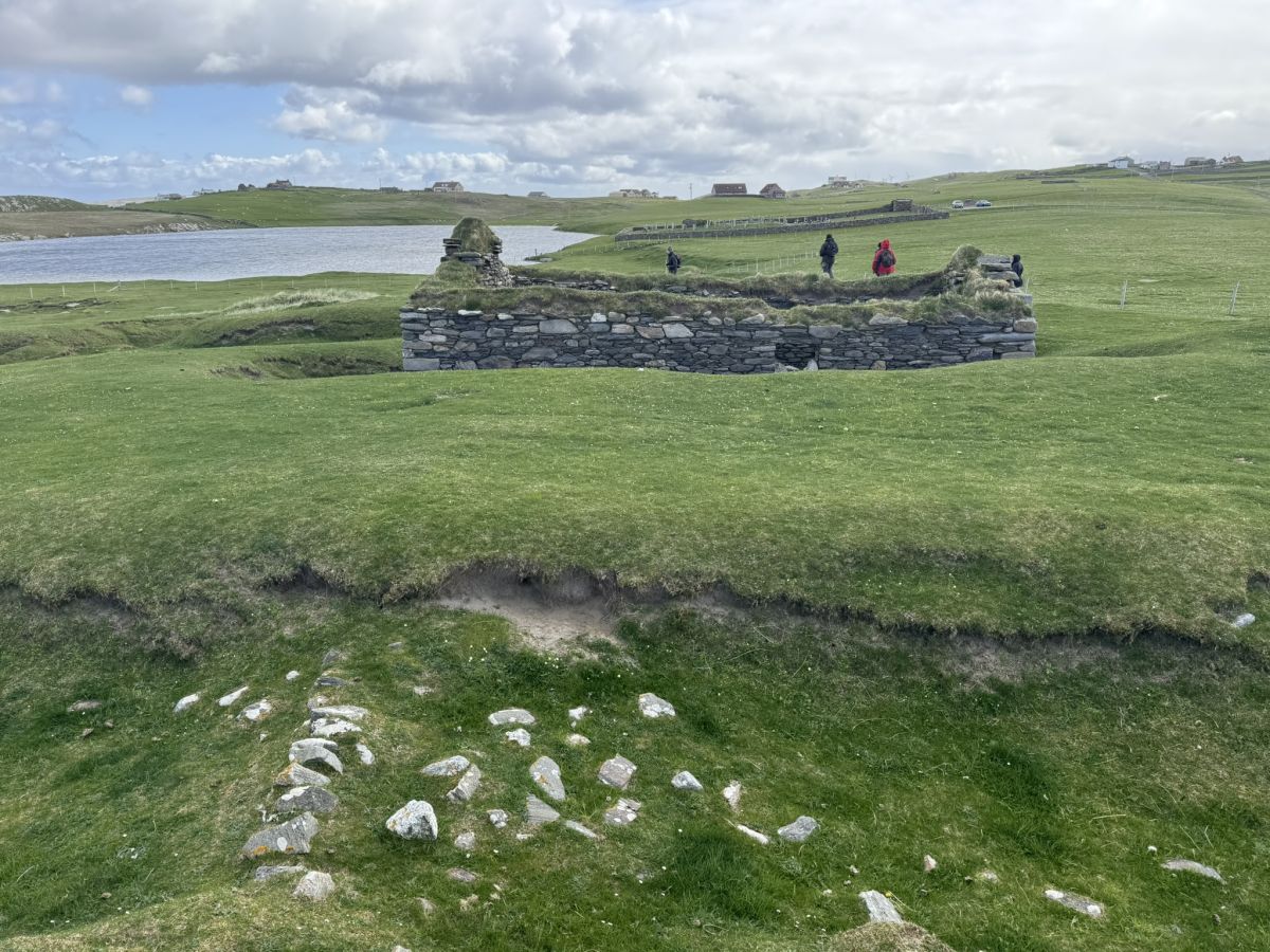
Further south, we reached the ruined croft house at Tofts (7), probably the farm that used the mill. According to the Ordnance Survey Name Book, the house was occupied and in good condition in 1877, described as having a “felt” roof – so made from organic materials such as marram grass. The Ordnance Survey historic map shows a group of buildings and a larger enclosure. By 1900, it had been abandoned and was shown on the map as unroofed.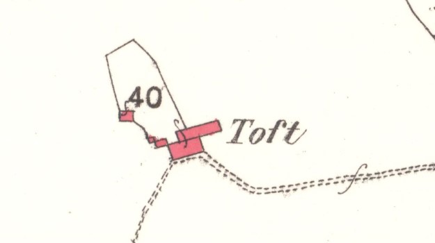
Today, the house is partly buried in sand, with traces of walls disappearing into the dunes – evidence of how quickly sand can overwhelm a place making it impossible to live in.
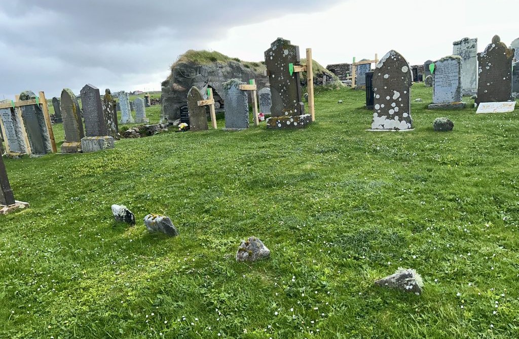
Our Walk of Discovery ends at the ruined church of St Olaf at Kirk Loch (8). It was probably built in the 14th century and served the parish of North Yell until 1750. Although the chapel is quite ruinous, this scheduled monument is worth exploring inside, where the original structure is nicely preserved. And the graveyard has lots of interesting grave markers, including locally sourced boulders for ancient burials and rare wooden grave slabs.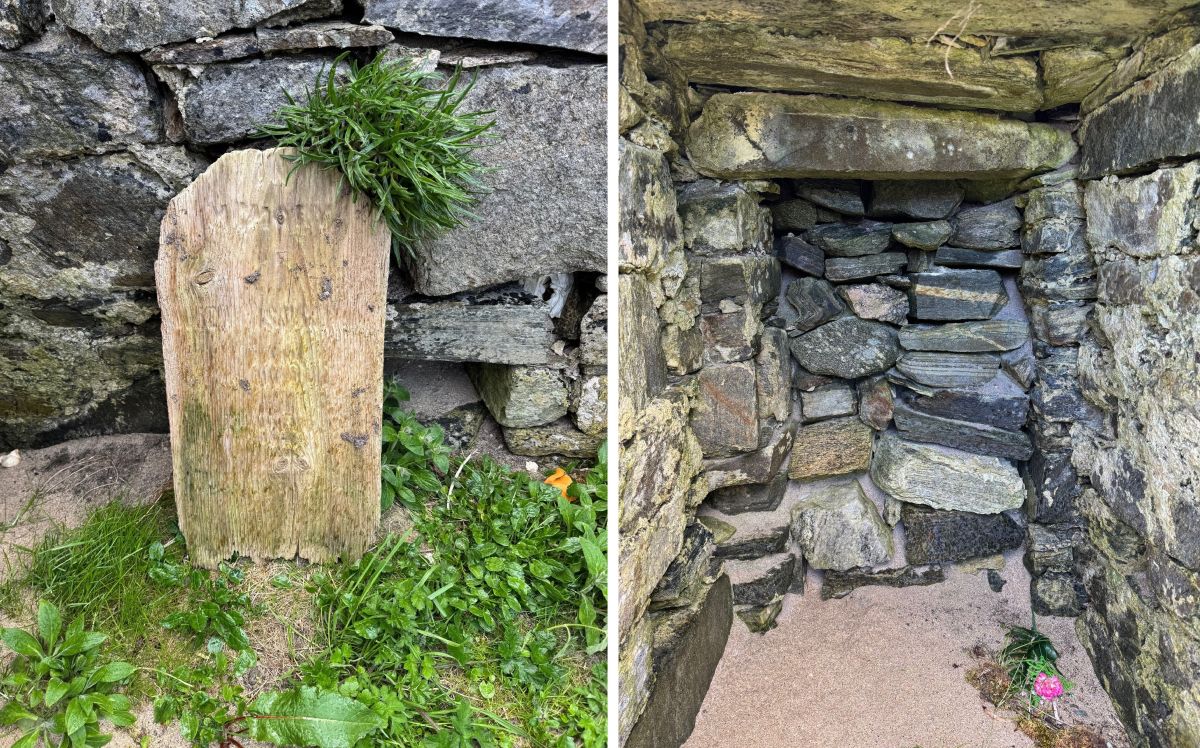
If you know more about any of these sites, we’d love to know, please send us your comments and questions.
Thanks to all of our volunteers who accompanied us on our Yell coastal surveys!
All the sites mentioned are recorded on our Sites at Risk map and on our Coastal Archaeology Recording app for android and iOS which is free to download and will help you make your own walks of discovery. Photographs are all copyright SCAPE except ‘Gravestones in St Olaf’s’ and ‘Walk to St Olaf’s’, courtesy Sarah Miller. Ordnance Survey Historic Maps are from the National Library of Scotland.
Parking can be found at Breckon Farm and St Olaf’s Kirk
⚠️ Please remember: some coastal areas can be hazardous. Always seek landowner permission, follow local guidance, and take care when exploring.
Further reading and information:
- Carter and Fraser 1997, “The sands of Breckon, Yell, Shetland: archaeological survey and excavation in an area of eroding windblown sand”. Available online from the Society of Antiquaries of Scotland website: https://journals.socantscot.org/index.php/psas/article/view/9936
- Ordnance Survey first edition and second edition maps, available online at the National Library of Scotland:https://maps.nls.uk/
- Ordnance Survey Name Book 1878, Shetland, page 22 ‘Toft’.
- The Crofthouse Museum, Dunrossness, Shetland. https://www.shetlandamenity.org/crofthouse-museum
- Shetland Amenity Trust “Talking Toevakuddis” https://www.shetlandamenity.org/talking-toevakuddis
Recent Comments