NORTH UIST, BALELONE (9358)
Description
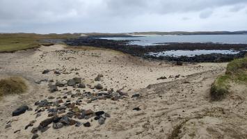
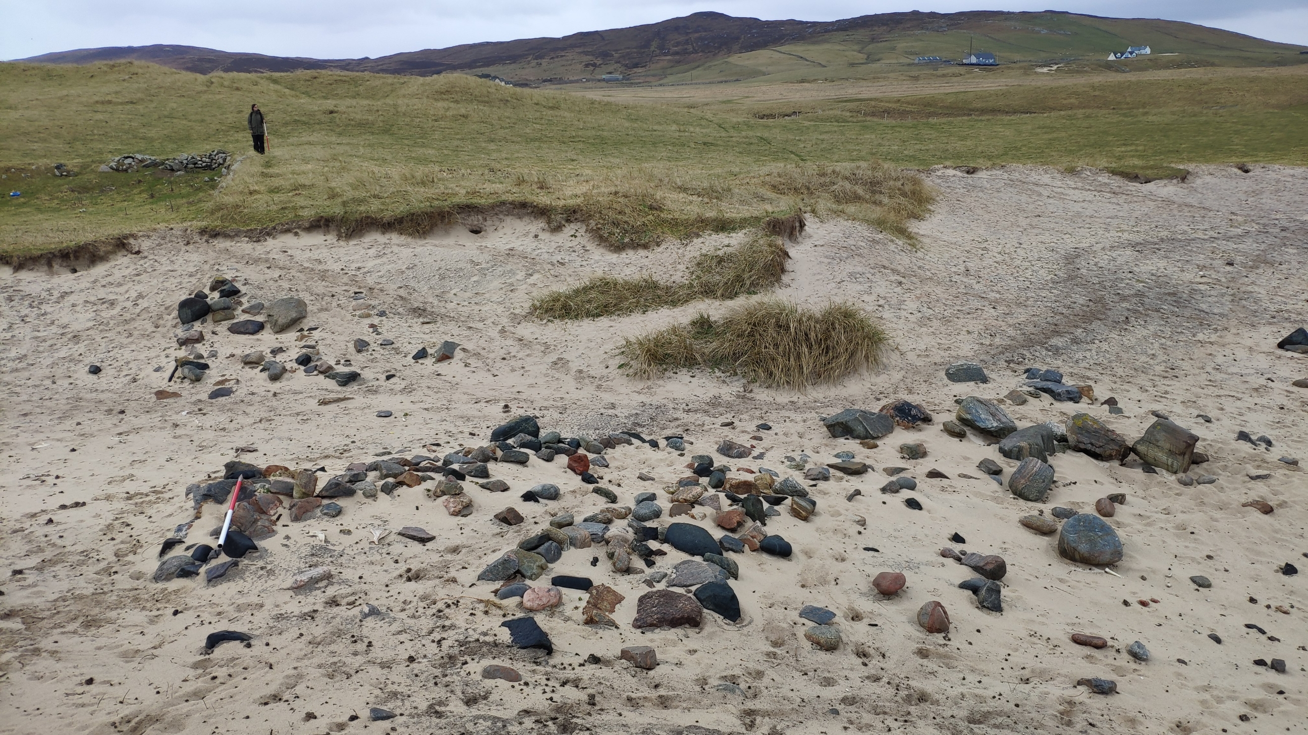
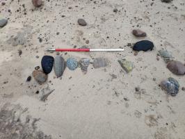
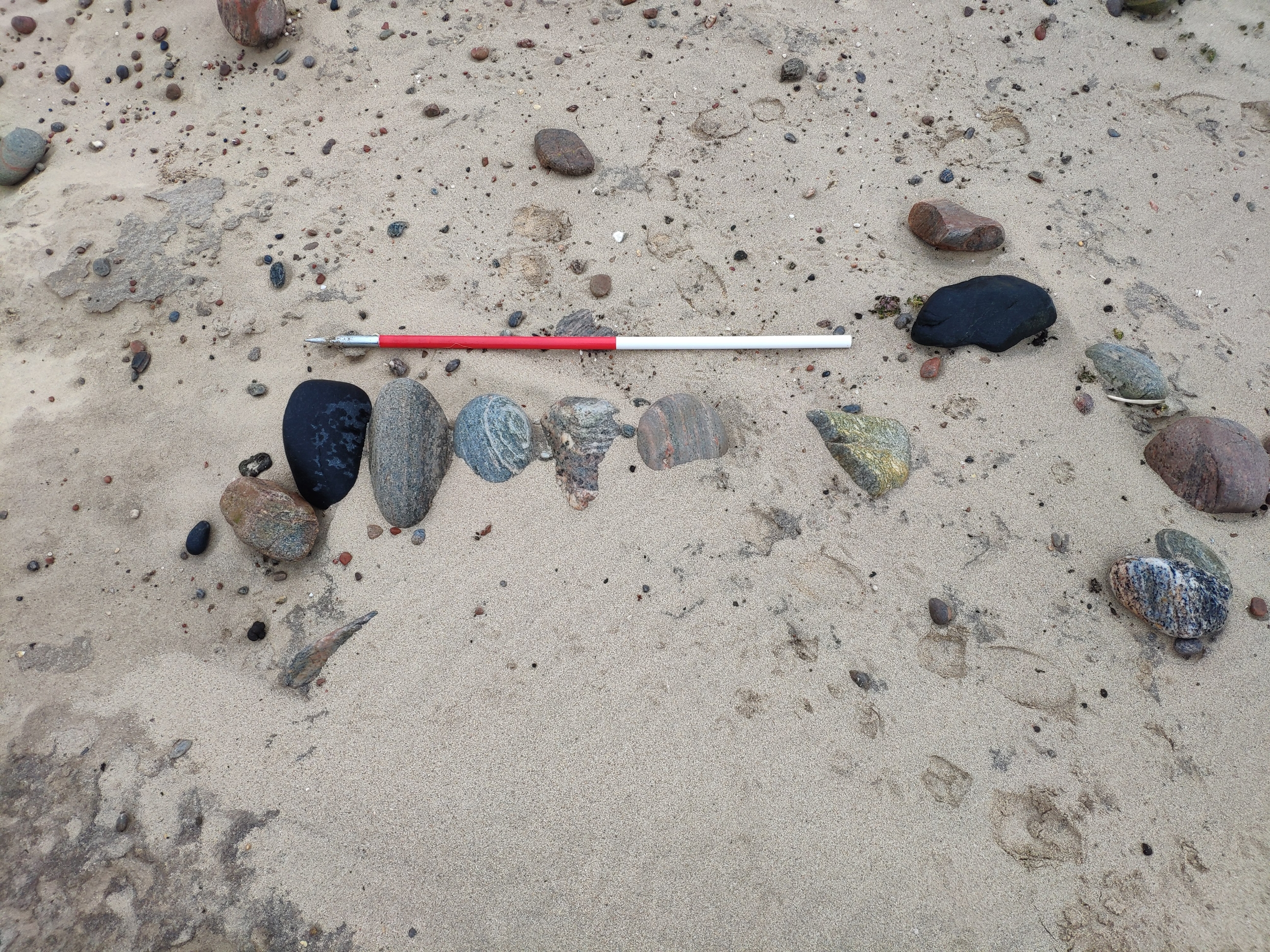
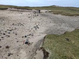
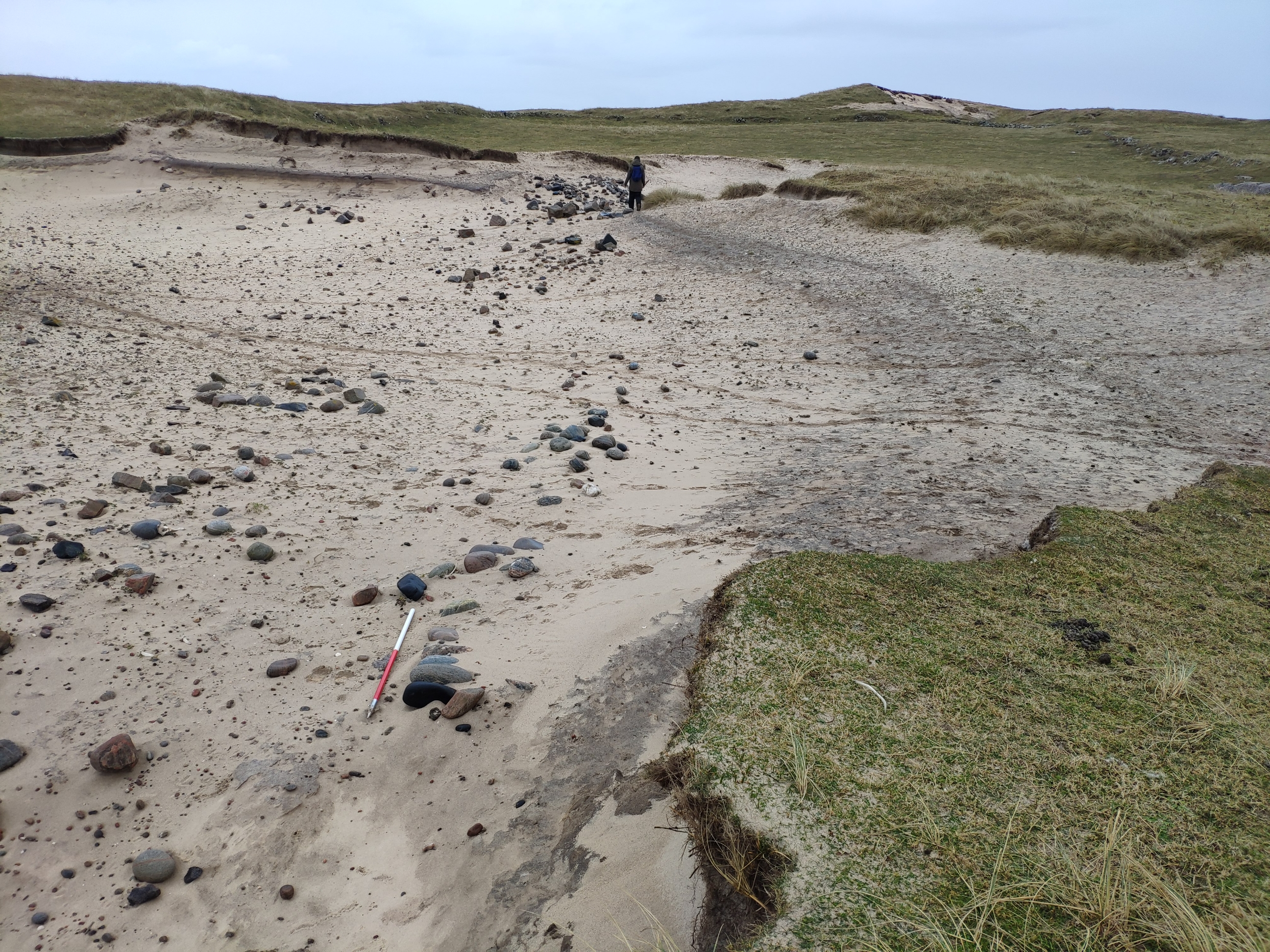
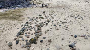
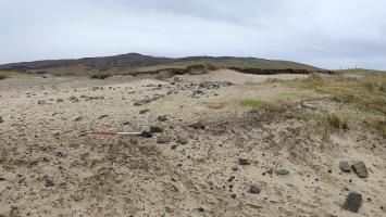
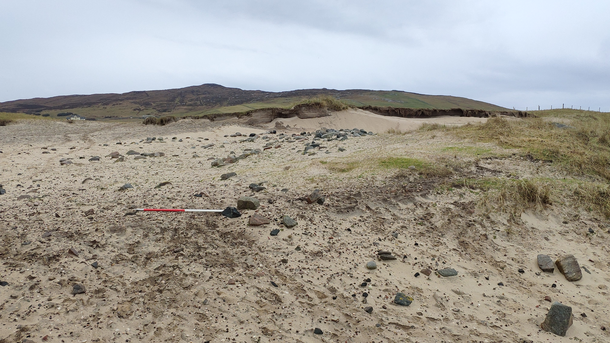
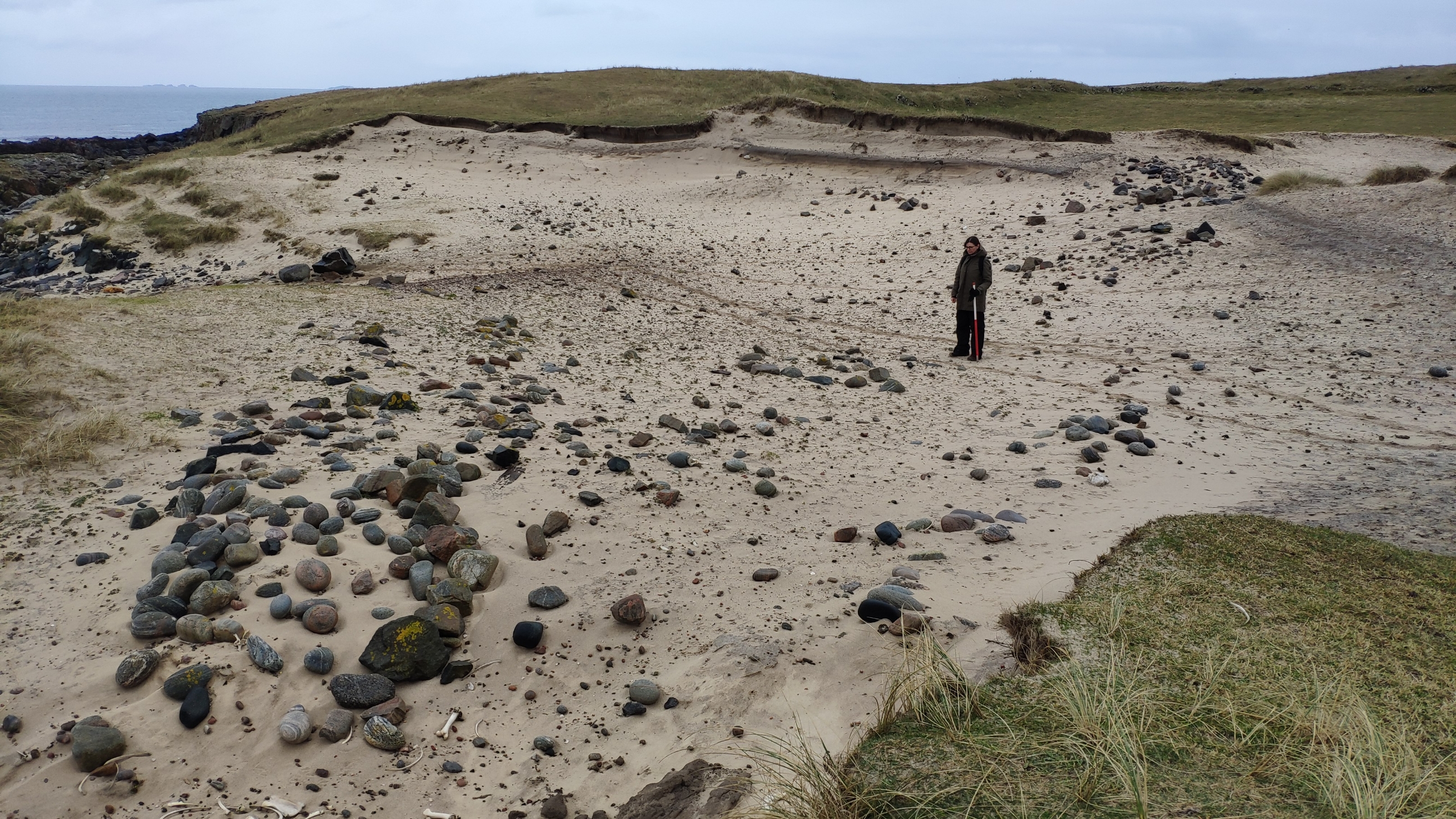
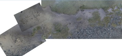
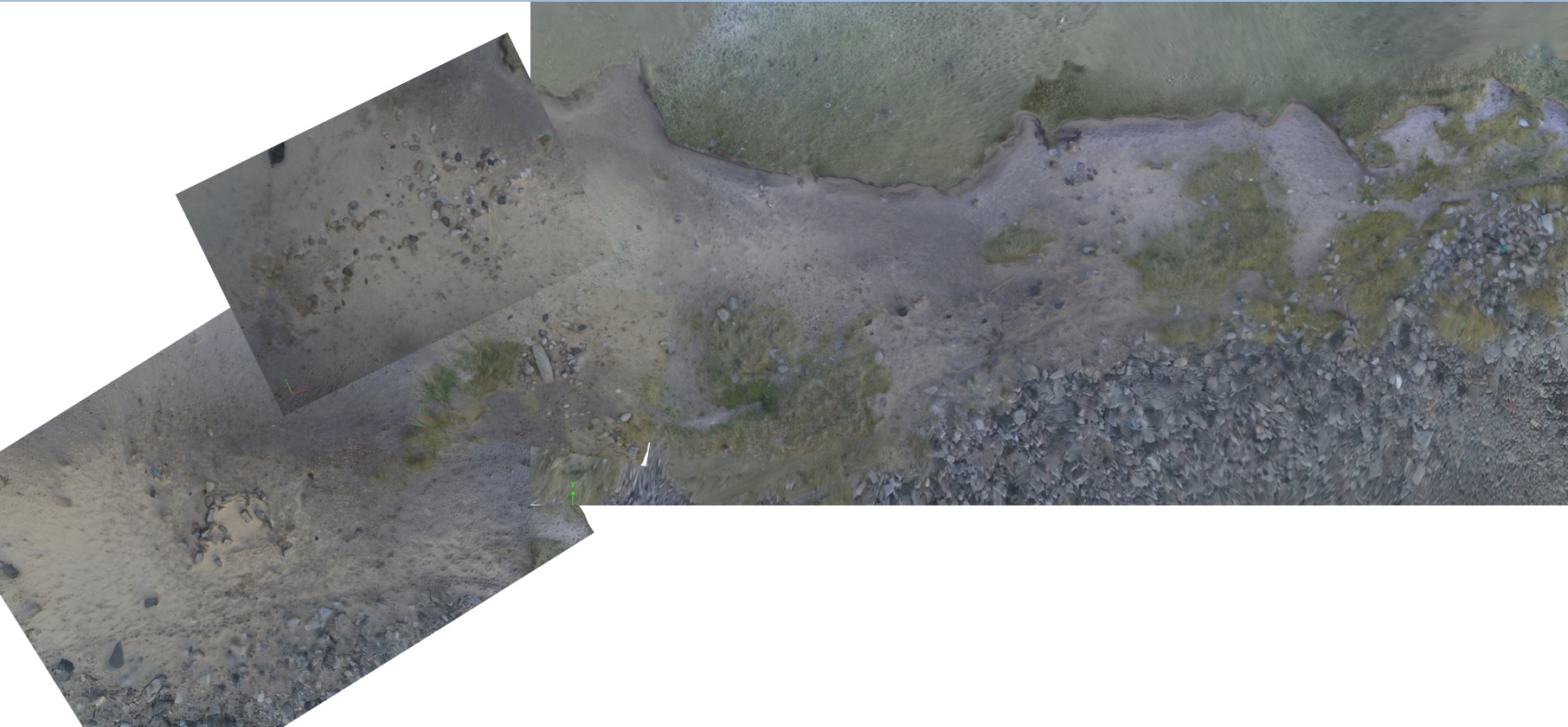
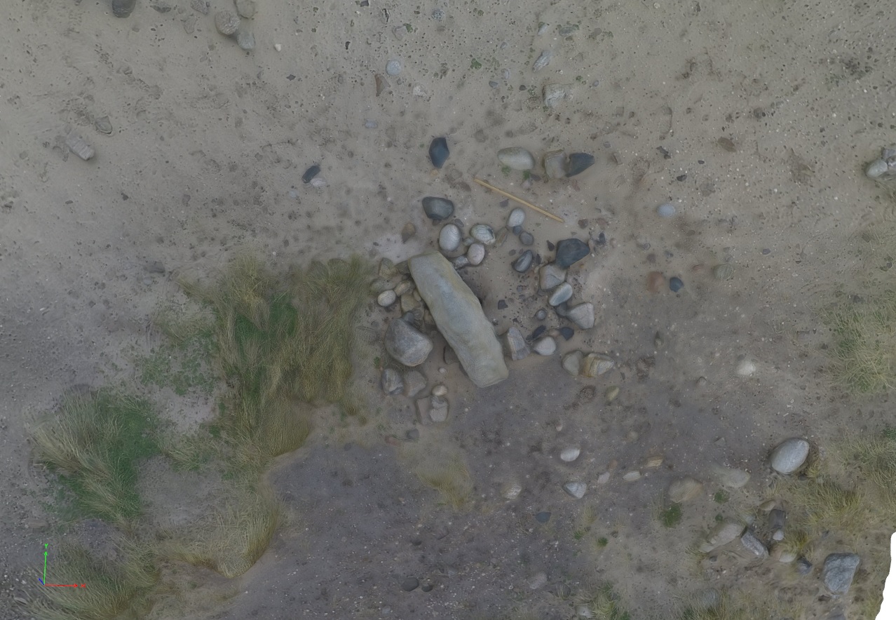
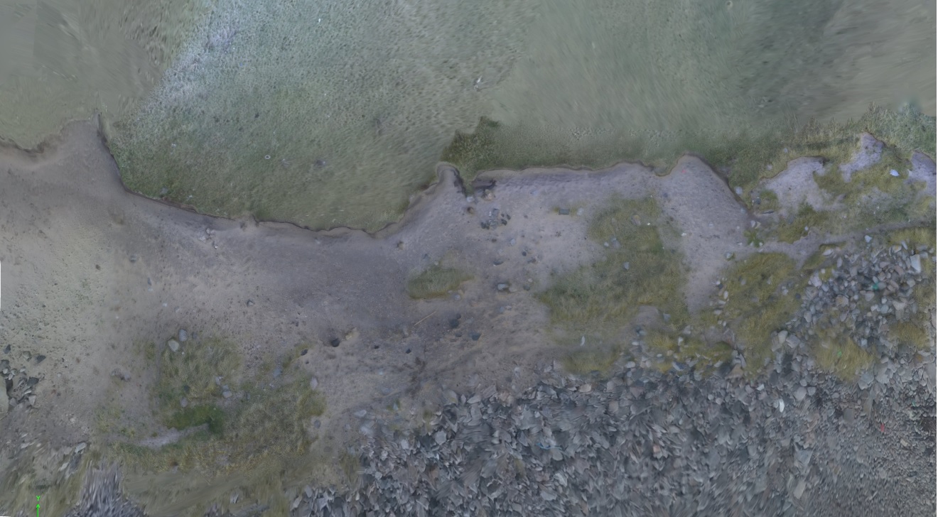
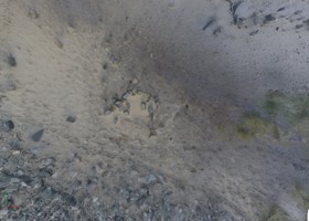
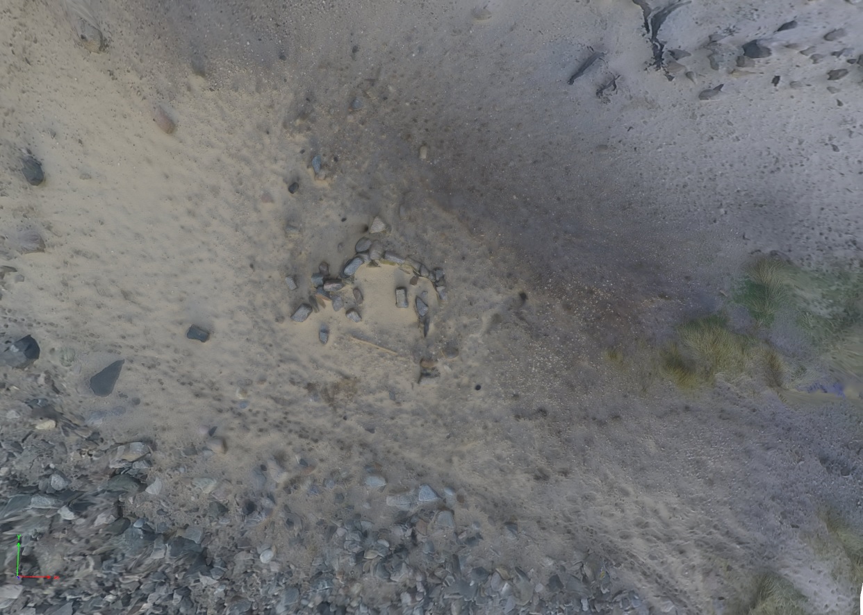
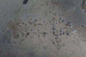
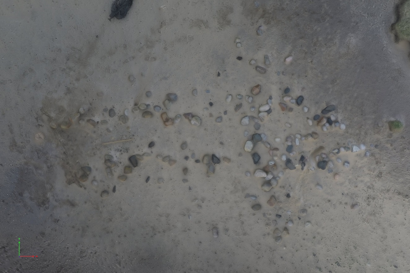
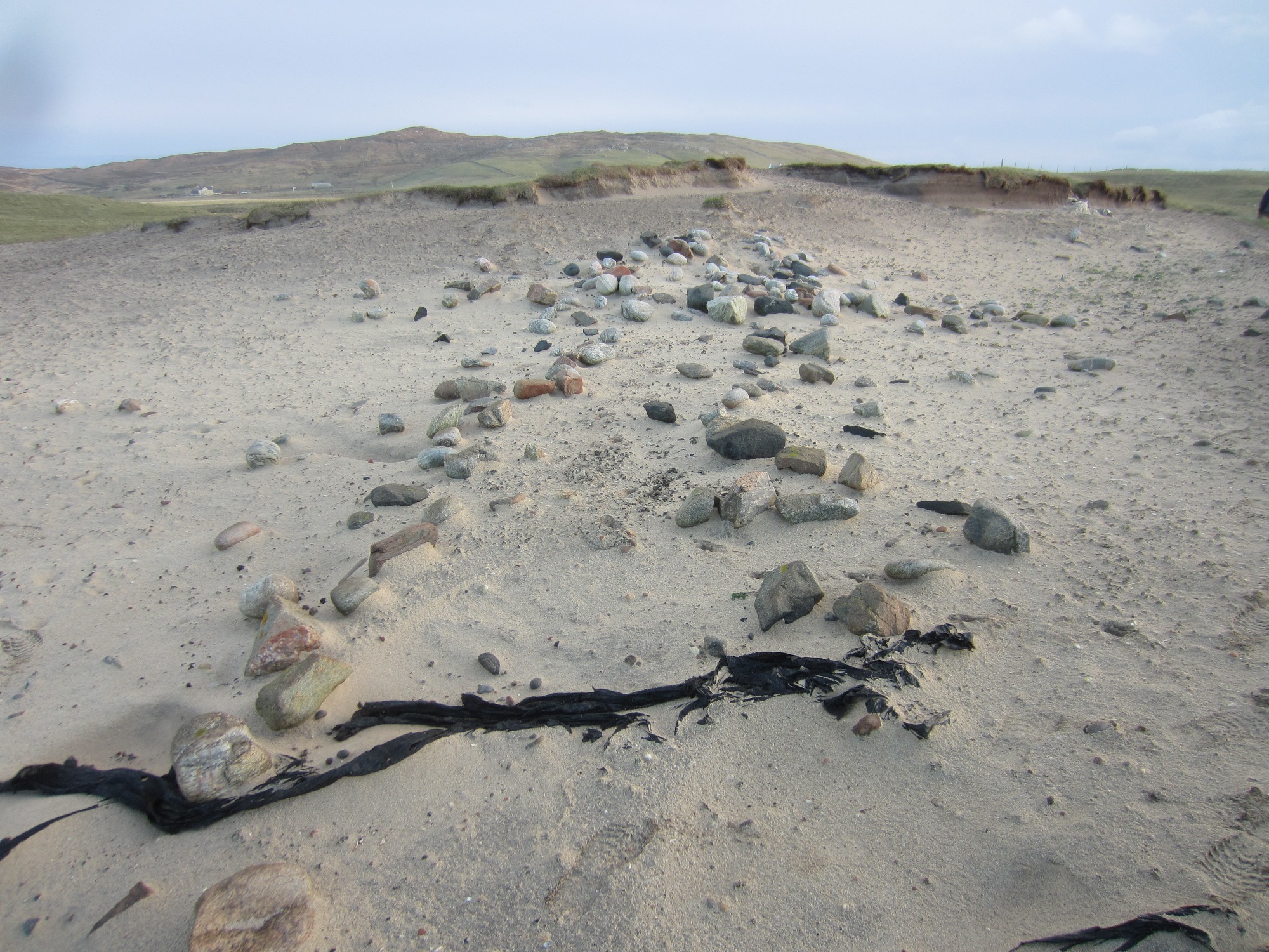
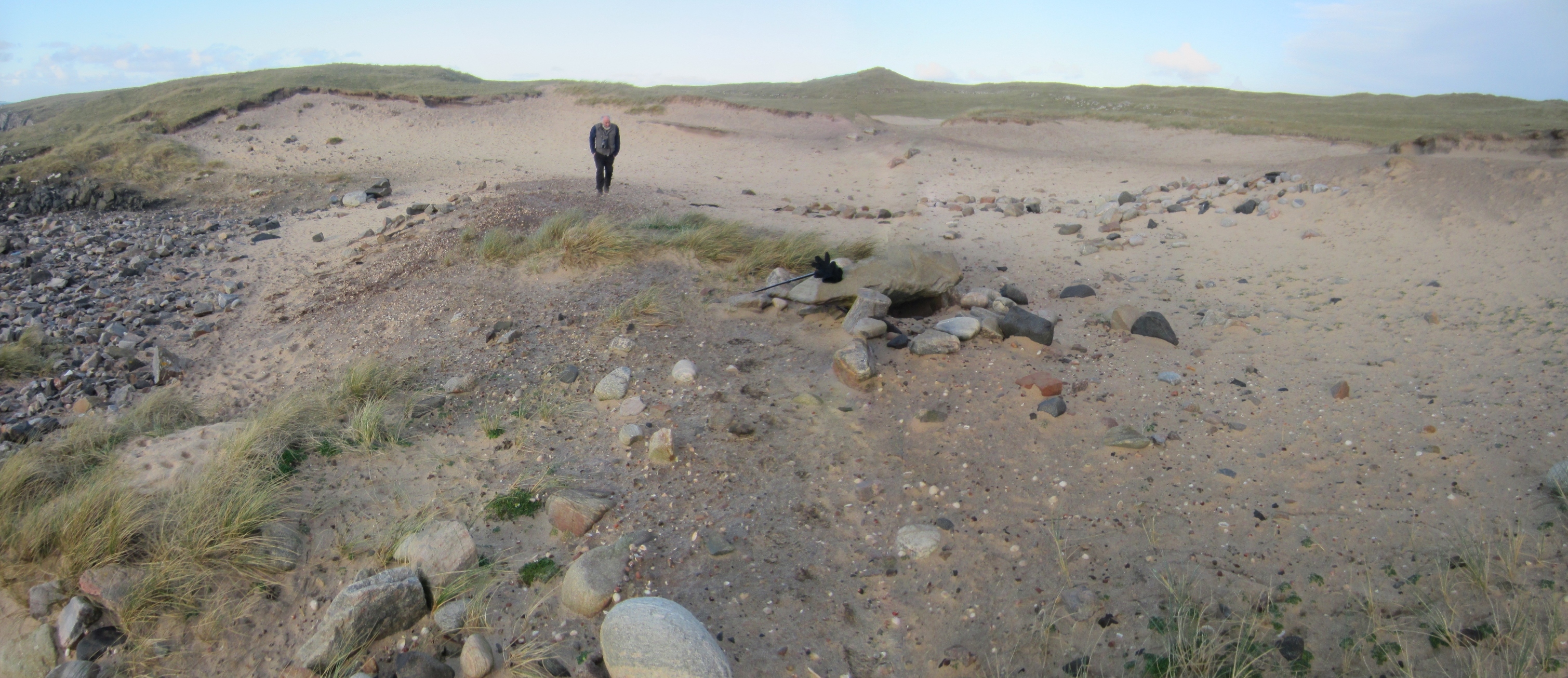
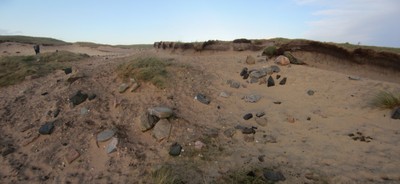
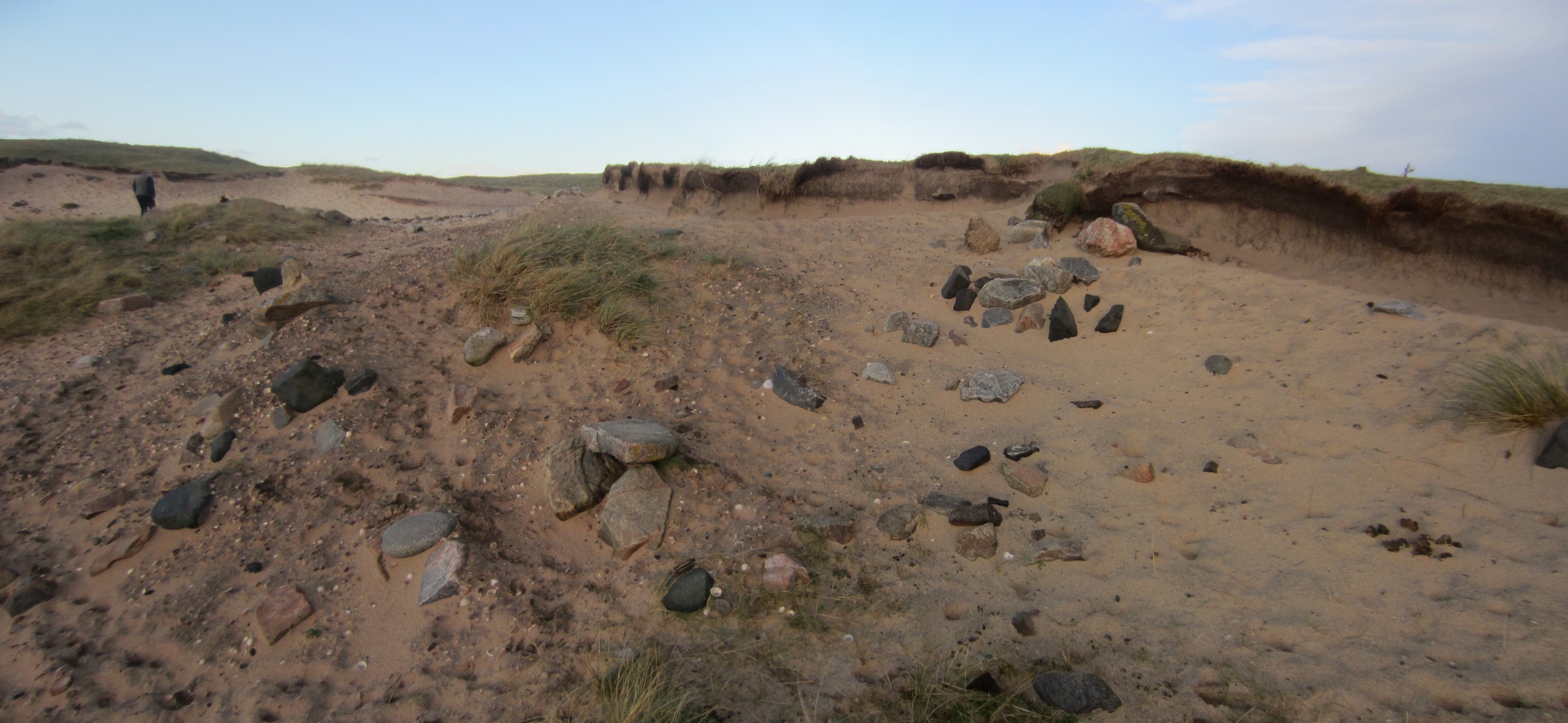
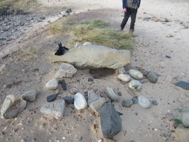
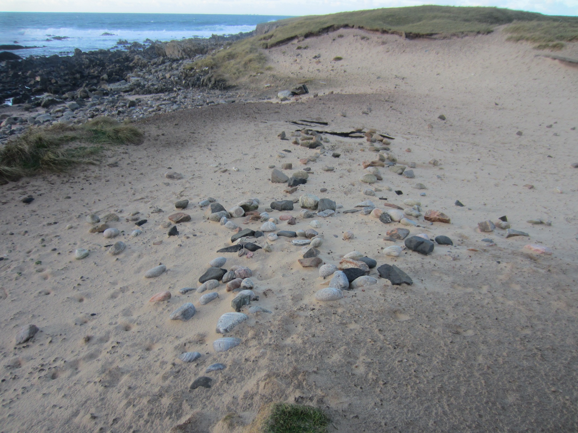
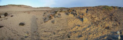
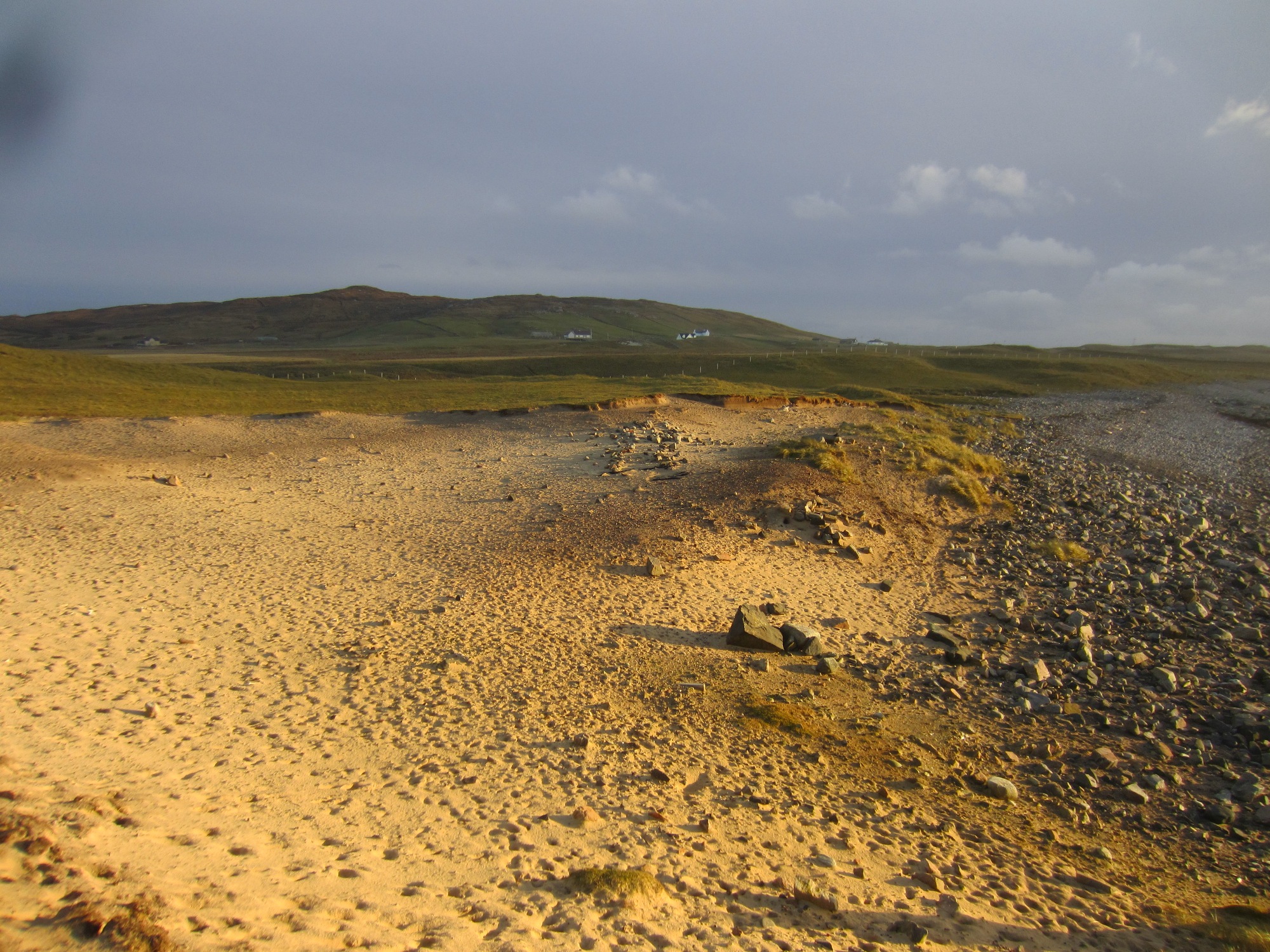
| At Kilpheder, coastal erosion has revealed thin layers of kitchen-midden and traces of a slight single wall, which curves in a northerly direction for several yards and seems to represent part of the underground linings of one of the earth-houses indicated by the OS. Finds from the former site include potsherds, hammer-stones, iron slag and a single cut-marked bone. A potsherd and an oval pebble fragment were found. 1911. At NF 7195 7408 a dune has been eroded by the sea, exposing a sand face c. 30.0m long. Midden material, a burnt layer about 1 1/2inches thick and building remains (probably of an earth-house) are exposed in the face. There are insufficient remains to justify survey action. The second earth-house was not located. Visited 1965. An 'Erd House' is recorded at this location on the 1st edition OS map. It is possible that this is the same site as 383. As previously described, a substantial midden layer was visible eroding out of the section at NF 71948 74082. Several pottery sherds were recovered and tentatively dated to the Iron Age. A possible souterrain was also visible within the section as coursed walls. Update 03/12/2015 The site is not as described, there has been a big blow out of the dune, exposing a number of features in plan. Reference to 'Whole site from NW' image uploaded shows the main features now evident which seem to include some not mentioned in the original SCAPE survey in 2005. Reference to older satellite images up to 15 years ago suggests that the coast edge has receded by at least 5m in that time, possibly up to 10m in places. The midden can be seen in the centre of the image as a darker brown area. This is substantial and full of shells of all types, but the original description suggests this was at the coast edge when originally surveyed in 2005. Below and to the W of this (right in the image) are the remains of a stone walled cellular structure eroding out of the seaward midden face. This has a curved back wall in coursed stonework with collapsed forward projecting walls either side, indicating an internal dia. of c. 4m. This is perhaps the 'possible souterrain' referred to in the first SCAPE survey. A few m to the E of this at a higher level (left in image) is the outline of a cruciform plan stone setting c. 10 x 5m with the stone lines c. 1.5m apart. Modern beach sculpture or ??. Towards the S end of the main midden is a single seemingly quarried slab c 1.5m long and 0.3-0.4 m thick lying on top of what appears to be another stone structure. Further S from that, the midden reappears with suggestions of other stone walls nearby. |
| Update March 2024 Faint indications of cruciform structure/souterrain? form visible. Spread of thin cultural deposits containing fire cracked stone, very fragmented pottery, calcined and burnt bone. Frequent winkle and limpet. Rare slag- like material, could be unrelated. Archaeological deposits and structures at the coast edge of blow out. Stone walls on the landward side are eroded parts of the enclosure 9356. This site is probably the same as Canmore 10117 and Canmore 10122. All these records represent extensive Iron Age settlement remains, investigated in the mid-1970s and early 1980s. |
Location
| 71950.00 | |
| 874080.00 | |
| 27700 | |
| 57.6367836 | |
| -7.4994831 |
Submitted photographs
| Image | Date | Caption | User |
|---|---|---|---|
|
11/03/2024 | Tumbled section of south wall of -cattlefold- Site 9356, in foreground. Vague alignment of stone could represent a N-S oriented wall which meets the mid point of the cattlefold south wall, looking S. | joannahambly |

|
|||

|
11/03/2024 | South wall of large square enclosure, -cattlefold- Site 9356 which crosses the north side of the blow out, looking east. | joannahambly |
|
|||
|
11/03/2024 | Detail of cobble/boulder alignment, of possible N-S possible wall which meets the mid point of the -cattlefold- south wall. | joannahambly |
|
|||
|
11/03/2024 | Possible wall, oriented N-S which extends along the blowout and meets the mid point of the south wall of the cattle fold, looking N. Ranging rod next to the better preserved section in the foreground. | joannahambly |
|
|||
|
11/03/2024 | -Cruciform- structure possible souterrain? Looking NW | joannahambly |

|
|||
|
11/03/2024 | General view from coast edge, showing thin spreads of midden, looking east. Cruciform structure/ souterrain in foreground. N-S stone alignment in background. | joannahambly |
|
|||

|
11/03/2024 | General view, crucifrom structure/ souterrain in foreground and to the left, N-S wall extending across the blowout to meet mid point of large square -cattlefold- enclosure in the background. Looking north | joannahambly |
|
|||
|
24/12/2015 | Composite aerial plan view | DavidNewman |
|
|||
|
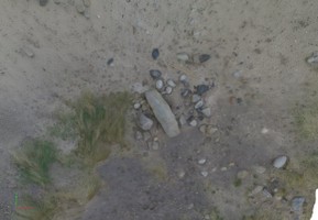
03/12/2015 | Stone slab lintel and possible structure | DavidNewman |
|
|||
|
03/12/2015 | South end of midden exposure | DavidNewman |
|
|||
|
03/12/2015 | Cellular structure and midden | DavidNewman |
|
|||
|
03/12/2015 | Balelone, cruciform structure | DavidNewman |
|
|||

|
03/12/2015 | Cruciform plan structure from NW | DavidNewman |
|
|||

|
03/12/2015 | Site looking N | DavidNewman |
|
|||
|
03/12/2015 | Midden extension to S | DavidNewman |
|
|||
|
03/12/2015 | Quarried slab | DavidNewman |

|
|||

|
03/12/2015 | Cruciform plan structure viewed from SE | DavidNewman |
|
|||
|
03/12/2015 | Cellular structure | DavidNewman |

|
|||
|
03/12/2015 | Whole site from NW | DavidNewman |
|
|||
Submitted updates
| Update id | Date | User | ||||||||||||||||||||||||
|---|---|---|---|---|---|---|---|---|---|---|---|---|---|---|---|---|---|---|---|---|---|---|---|---|---|---|
| 4726 | 11/03/2024 | joannahambly | ||||||||||||||||||||||||
|
||||||||||||||||||||||||||
| 2294 | 03/12/2015 | DavidNewman | ||||||||||||||||||||||||
|
||||||||||||||||||||||||||