UISAED, MACHRIHANISH RADIO STATION (16832)
Description
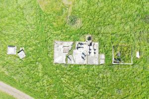
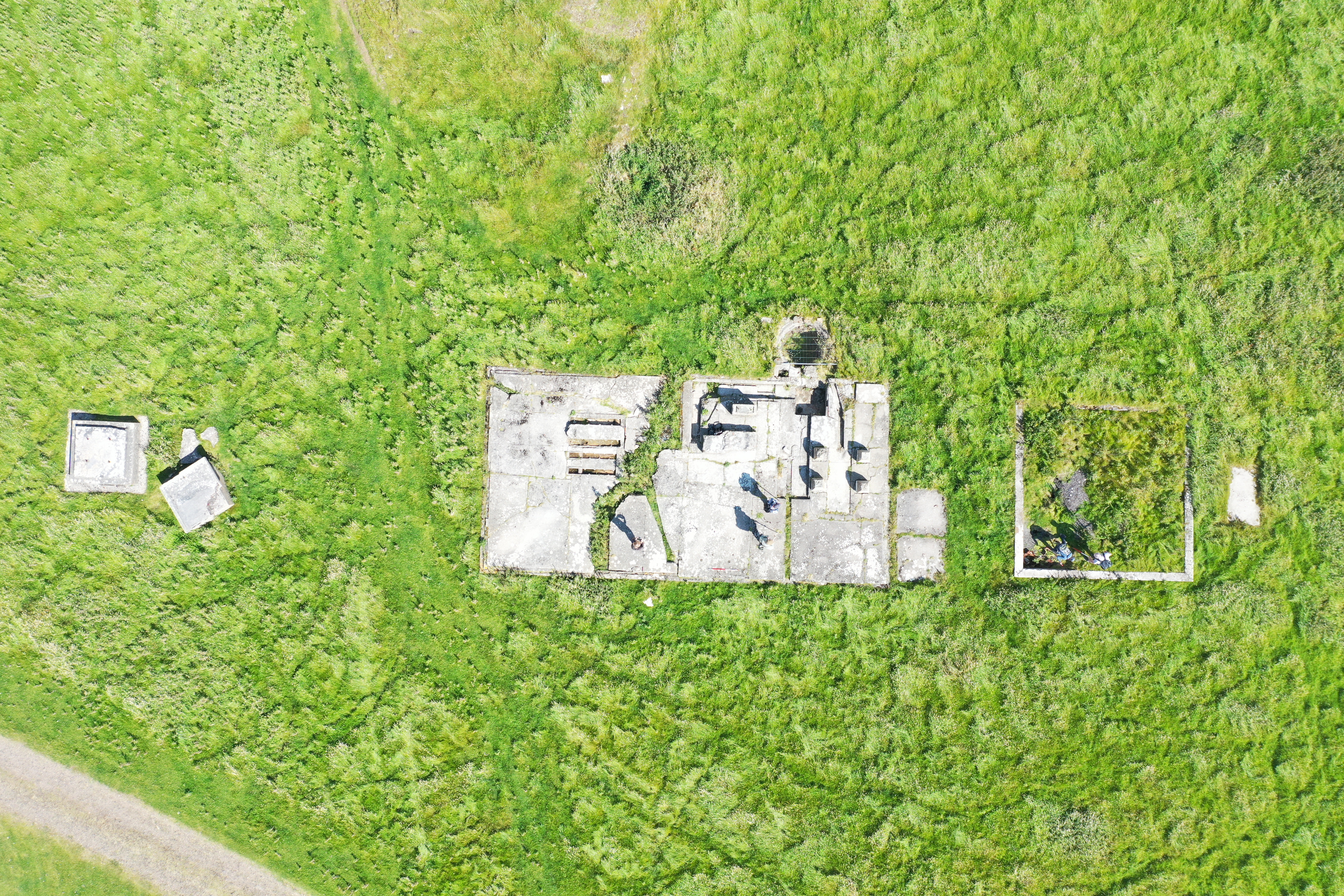
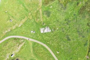
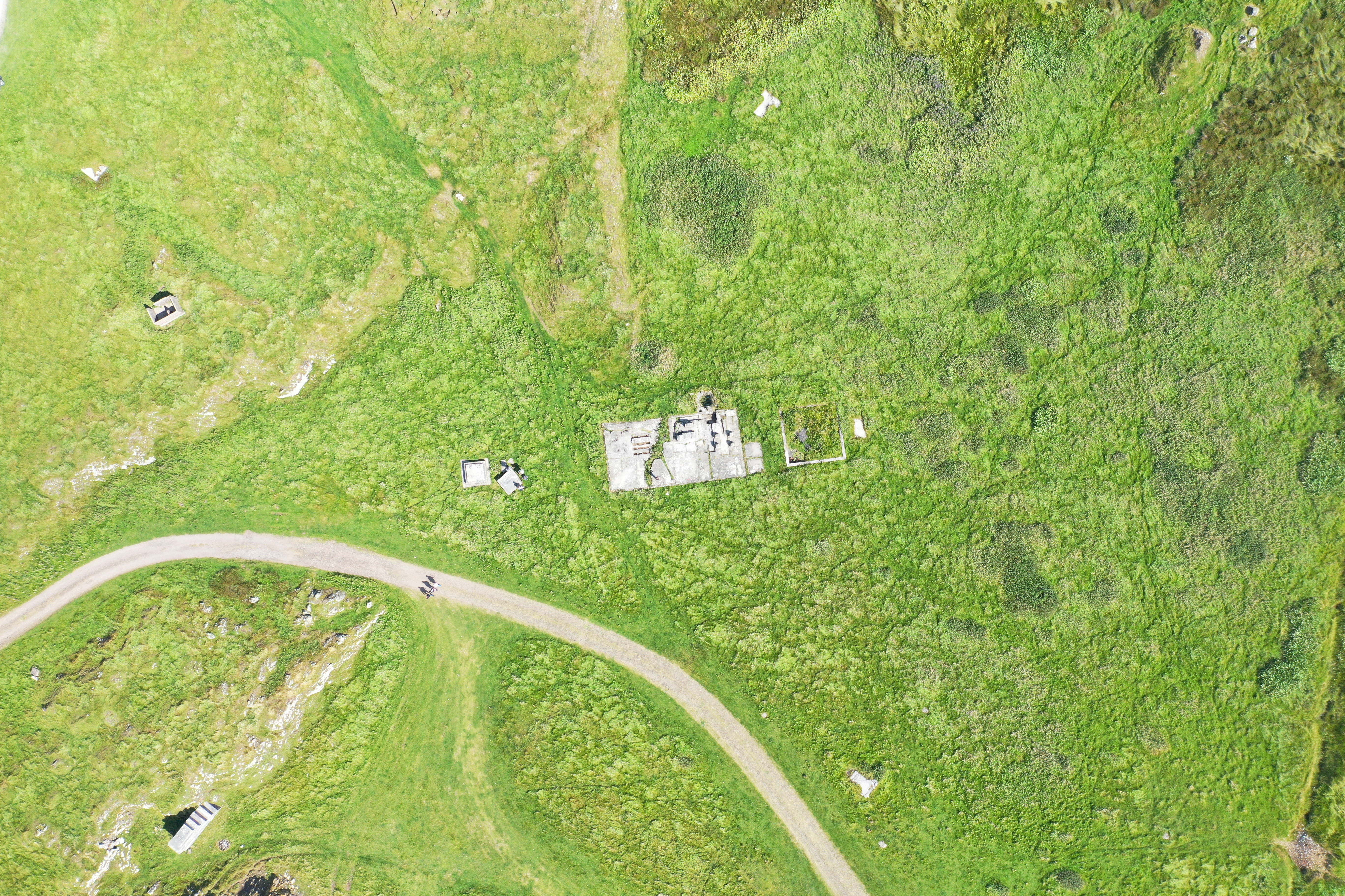
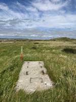
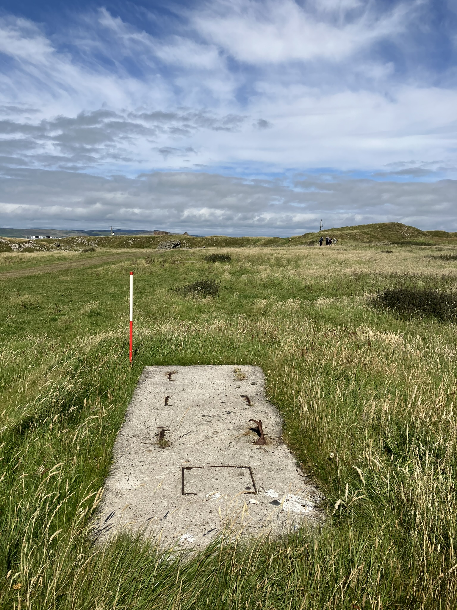
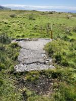
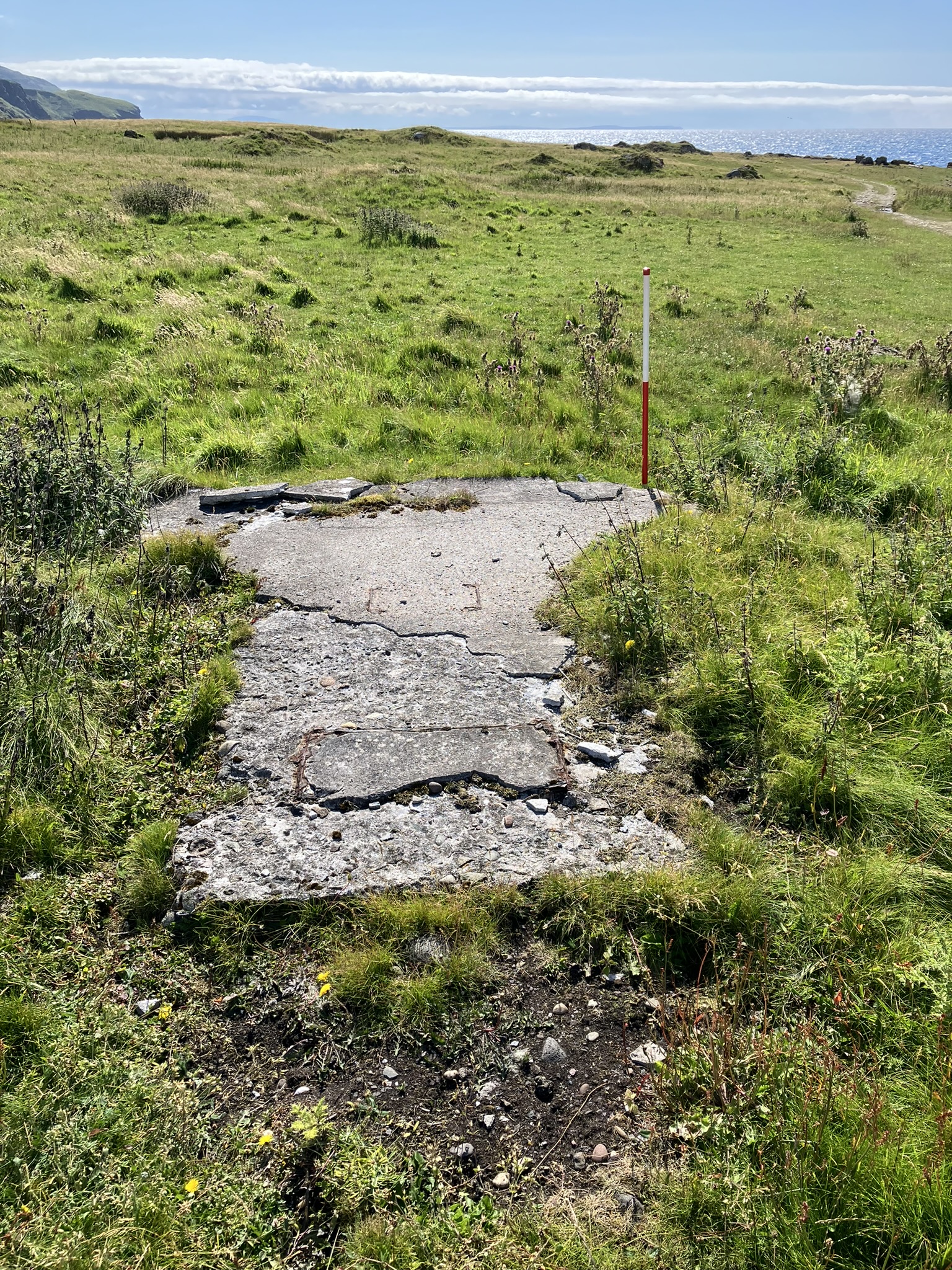
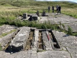
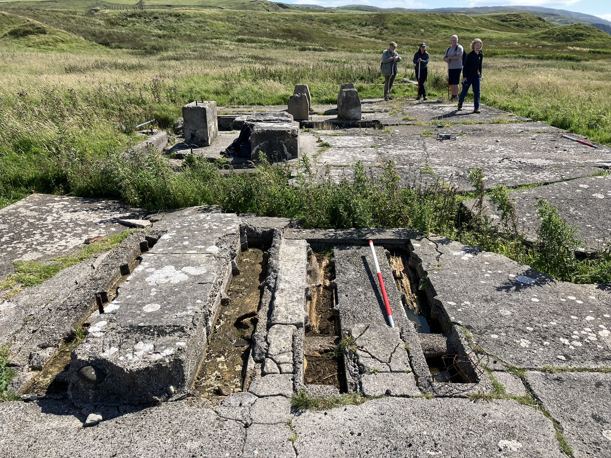
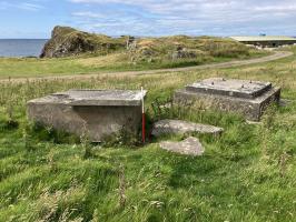
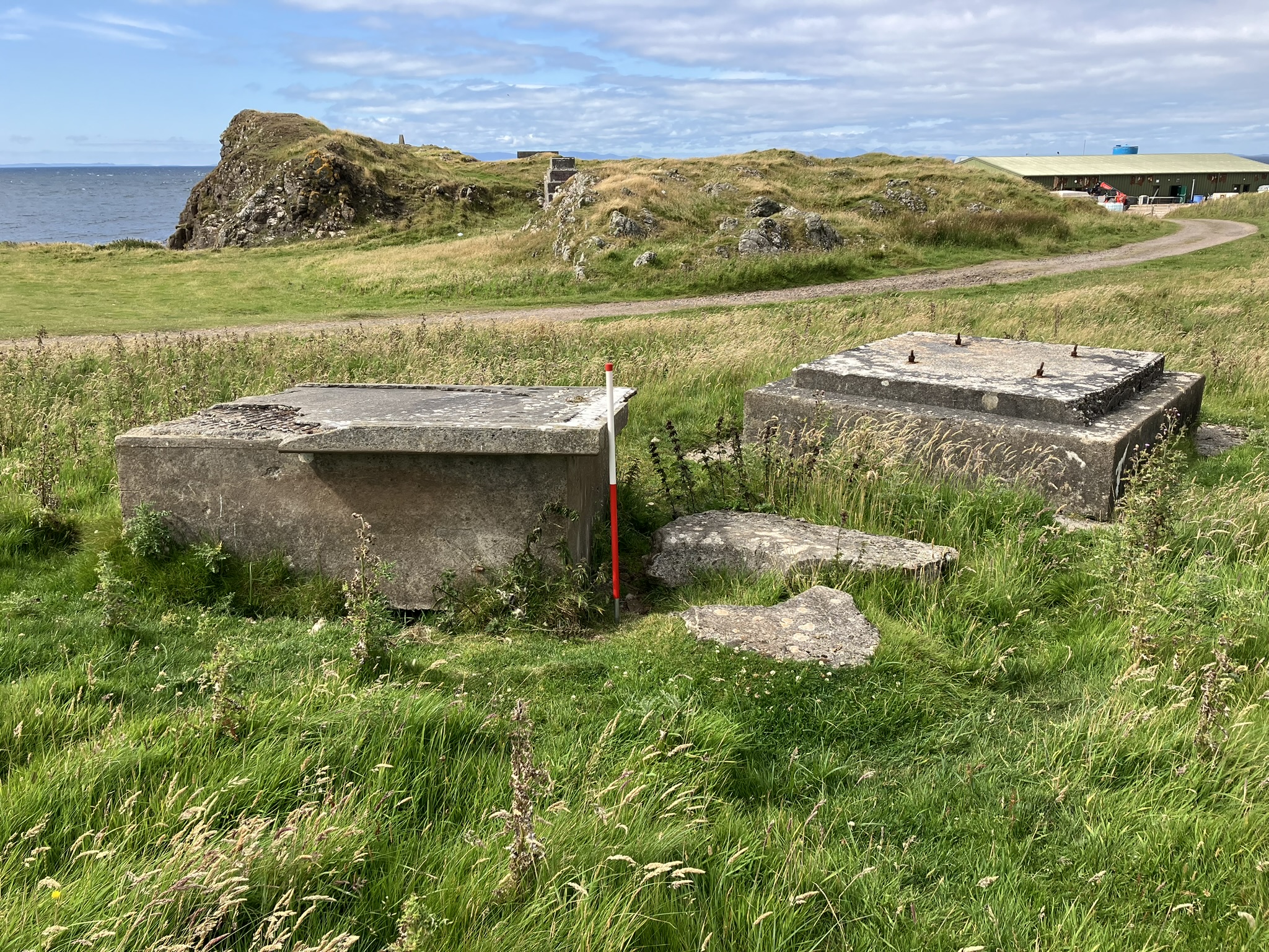
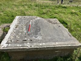
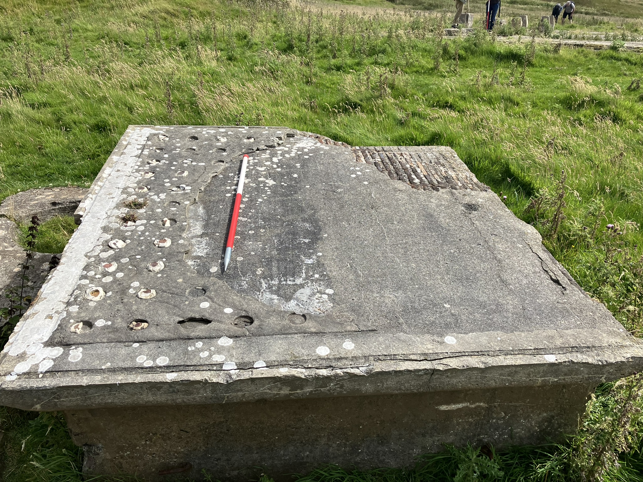
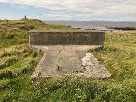
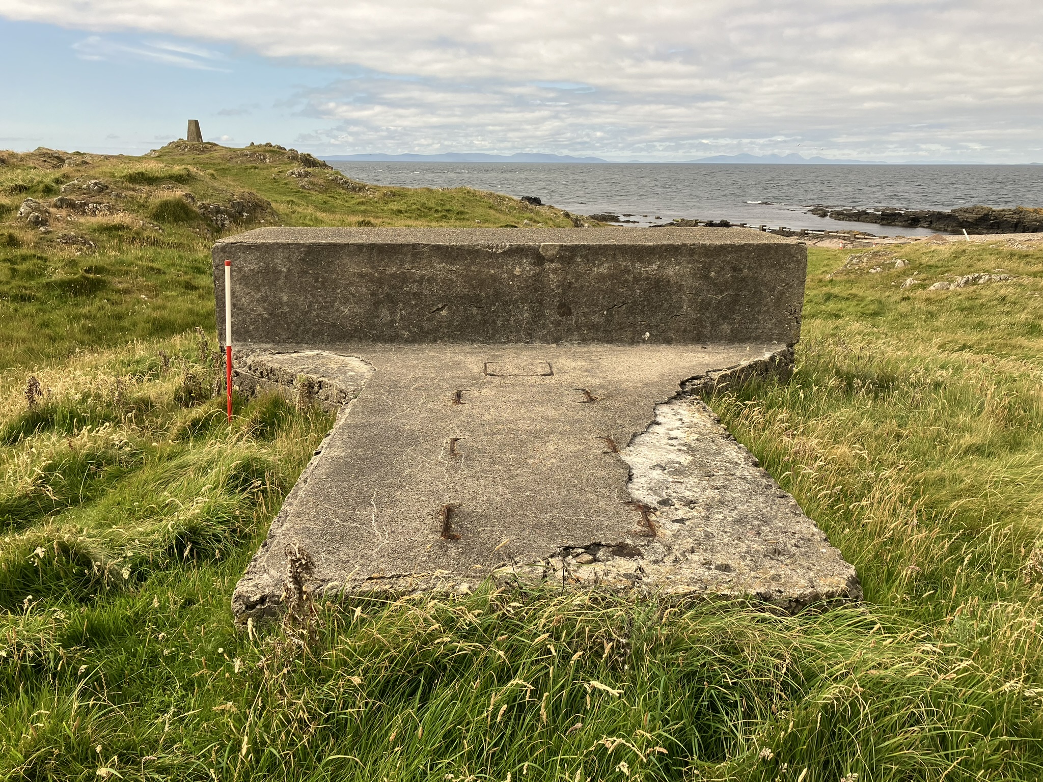
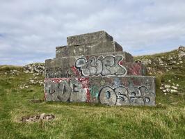
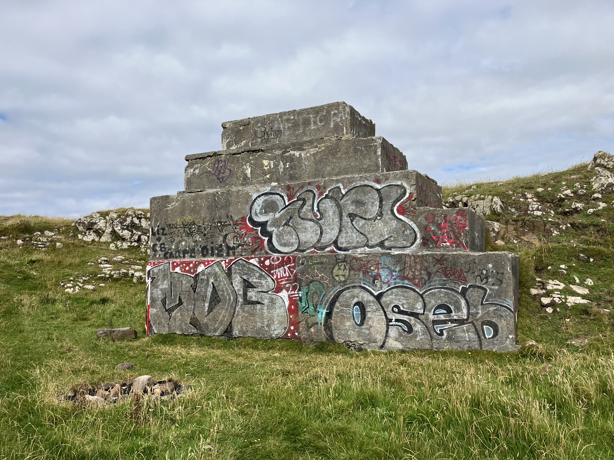
| Wireless Radio Station at Lossit Point, constructed between 1905 and 1906. The station, along with a similar facility built at Brant Rock, Massachusetts, in the United States, took part in the first wireless communication transmissions across the Atlantic. The work was the brainchild of Reginald Aubrey Fessenden, who has been named 'The Father of Radio Broadcasting?'. The wireless station sites located at Machrihanish and Brant Rock contributed to some of the earliest trans-Atlantic transmissions although the Machrihanish station only remained in operation for less than a year (due to the antenna being destroyed in a storm). Although the Fessenden wireless station has been reduced to its concrete foundations, the site retains a number of significant features relating to its design and layout. The only blueprints relating to the use of the site are for the main antenna/mast and the more delicate equipment associated with the wireless operations at the site. The sister station at Brant Rock has been almost completely removed, with just the base for the antenna remaining, along with one of the concrete anchor blocks. Upstanding remains include: concrete foundations relating to buildings, the concrete base of the mast/antenna which dominated this site when it was in use, concrete anchor points for the antenna stays, mounting blocks for the boiler and steam engine that powered the station, and a section of the antenna base that included ceramic insulators. |
| The site matches the description in the CANMORE record, with numerous concrete anchor points visible, as well as the foundations of the water tank and the steam engine house adjacent to the disturbed base of the antenna mast. The antenna base is slowly deteriorating due to weathering, revealing its lower iron strata, yet many of the ceramic resistors remain in place. Wooden components of the steam engine house are still in situ, although some of the concrete shows signs of decay. The trench excavated across the water tank has compromised the site's integrity, leading to erosion and several large openings disturbed by wildlife, with various artifacts lying on the surface. |
Location
| 162836.00 | |
| 620692.00 | |
| 27700 | |
| 55.4225680 | |
| -5.7493853 |
Submitted photographs
| Image | Date | Caption | User |
|---|---|---|---|
|
01/08/2024 | Detailed aerial shot of steam engine house, water tank and antenna base. | Paul Murtagh |
|
|||
|
01/08/2024 | Aerial shot of site | Paul Murtagh |
|
|||
|
01/08/2024 | Shot of mid-southern anchor point looking NE. | Paul Murtagh |
|
|||
|
01/08/2024 | Shot of south most anchor point looking south | Paul Murtagh |
|
|||
|
01/08/2024 | Detailed shot of steam engine shed looking south. | Paul Murtagh |
|
|||
|
01/08/2024 | General shot of disturbed mast base looking NW | Paul Murtagh |
|
|||
|
01/08/2024 | Detailed shot of mast base with remains of ceramic resistors | Paul Murtagh |
|
|||
|
01/08/2024 | West most anchor point looking west | Paul Murtagh |
|
|||
|
01/08/2024 | Stepped concrete anchor point looking NW | Paul Murtagh |
|
|||
Submitted updates
No updates found