
NEWTONHILL, HARBOUR (14719)
Condition
| 6 | |
| HARBOUR (PERIOD UNASSIGNED) | |
| Post-Medieval | |
| 37219 | |
| NO99SW0004 | |
| Aberdeenshire |
Description
| Haven dating from the late 19th century to early 20th century. It is a natural harbour, with concrete pier and a number of railed slipways. |
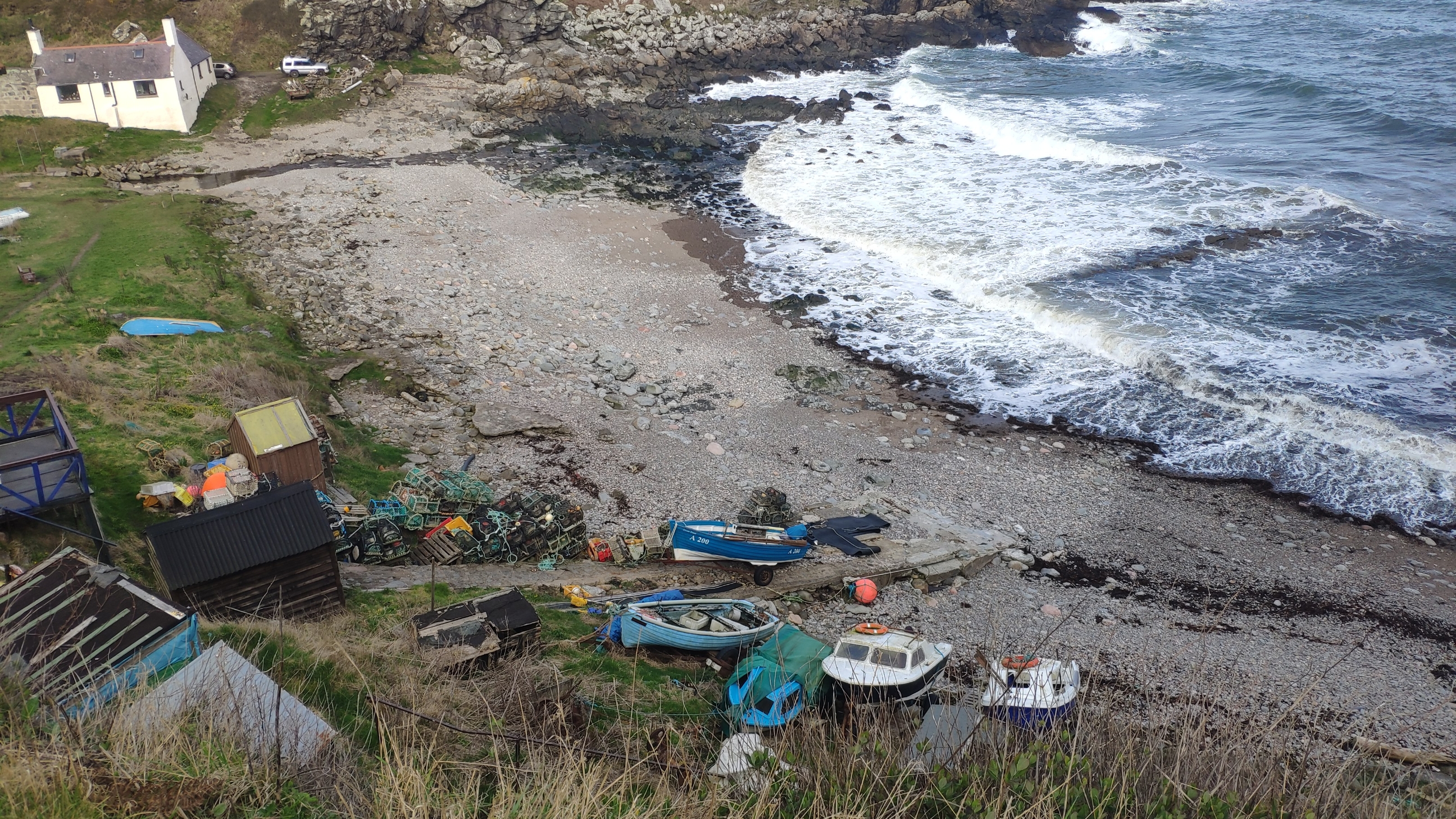
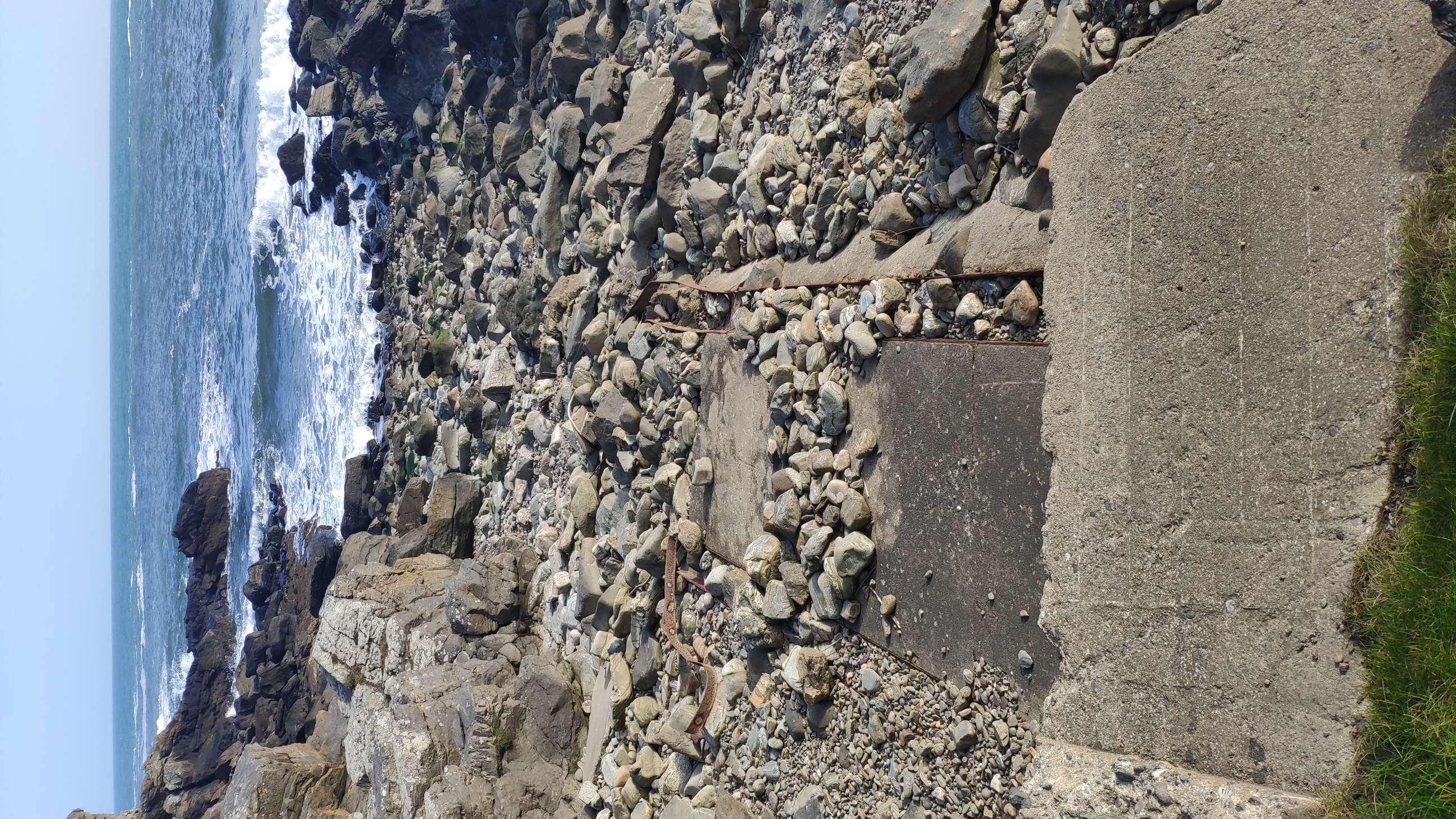
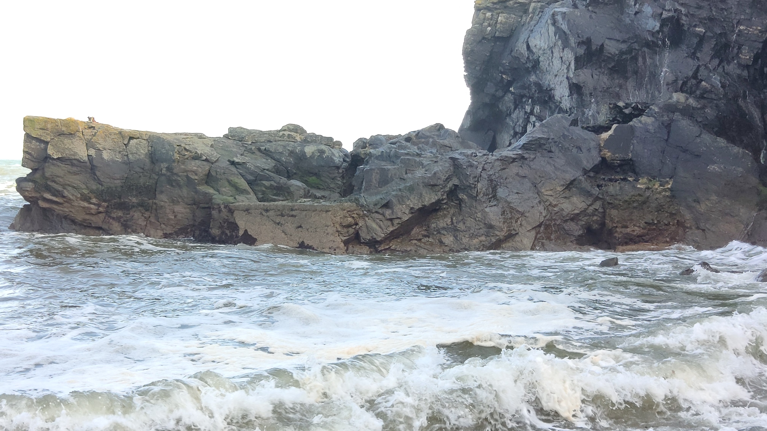
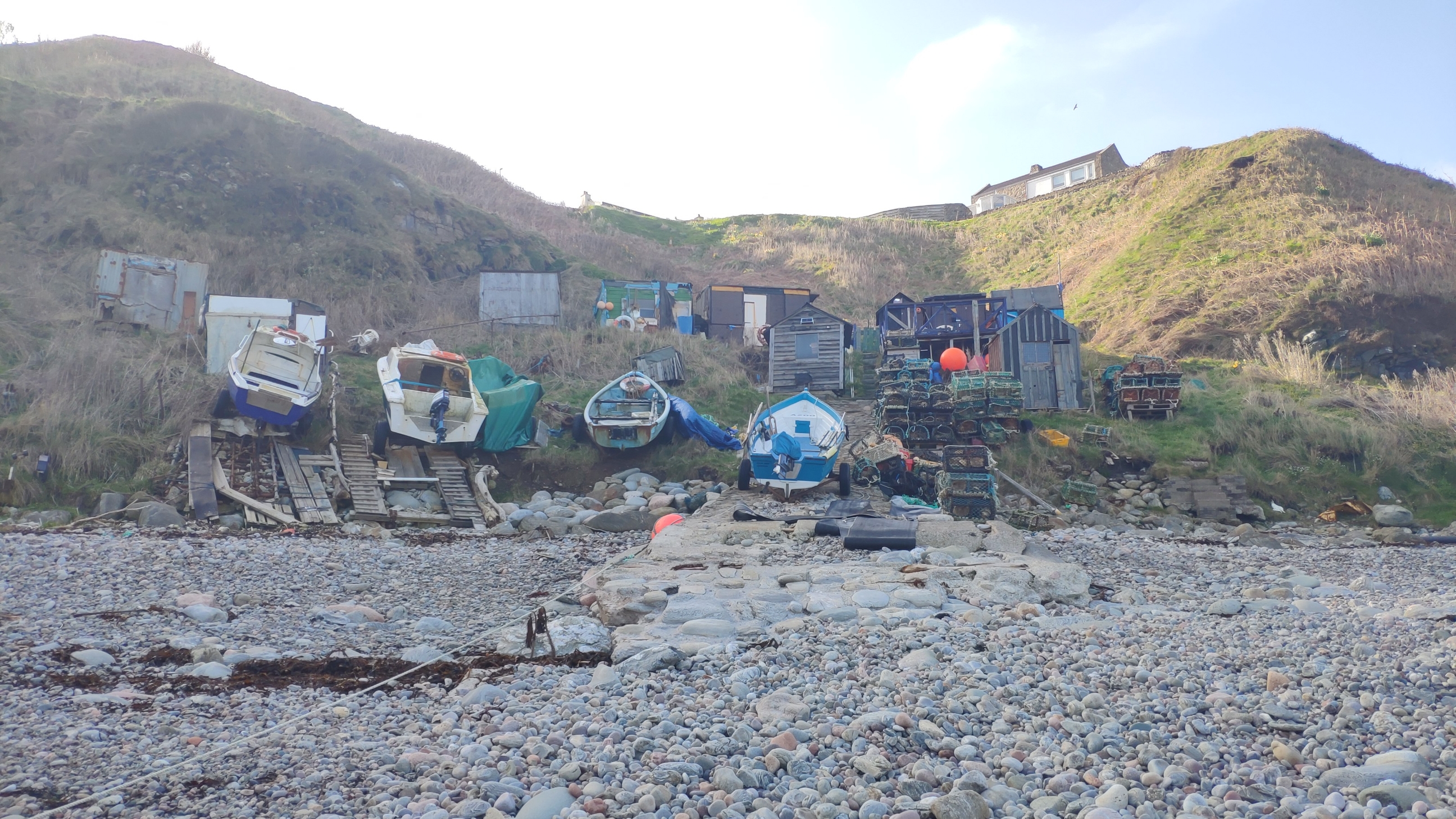
| The harbour is callled Sketraw in the Old and New Statistical Accounts. Skateraw on the historic Ordnance Survey. The much destroyed remains of a rubble and concrete pier depicted on the 2nd edition OS, but not the 1st edition OS can be still be seen in the middle of the bay. A Rubble and concrete pier depicted on 2nd edition OS broken up. There is a concrete and rubble slipway still in use to the south. A small concrete landing quay has also been built on the south side of bay. On the north side of the burn which flows into the north side of the bay is a concrete and metal railed slipway leading into a cleared slipway. The OSA (1794) and NSA (1845) reports that Sketraw had 7 boats, each crewed by 5 men, mostly engaged in white fishing (mostly haddock) with lines from small boats. Fish were supplied fresh, dried (on the rocky beaches) or smoked. There are a number of fishing stations within tiny bays and coves along the rocky coastline between Aberdeen and Stonehaven. See SCAPE ID: 14718 for master record. |
Location
| 391380.00 | |
| 793520.00 | |
| 27700 | |
| 57.0327000 | |
| -2.1436481 |
Submitted photographs
| Image | Date | Caption | User |
|---|---|---|---|
|
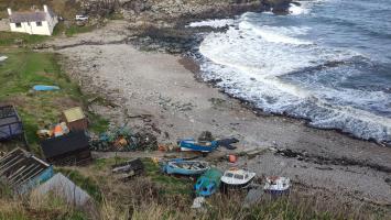
14/04/2023 | General view of harbour. Old pier visible partially submerged in the middle of the bay. Railed slipway in background in front of the landrover. Current slipway in foreground. | joannahambly |
|
|||
|
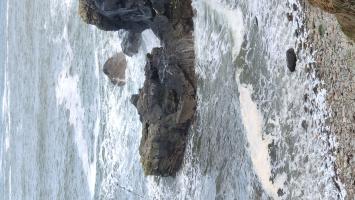
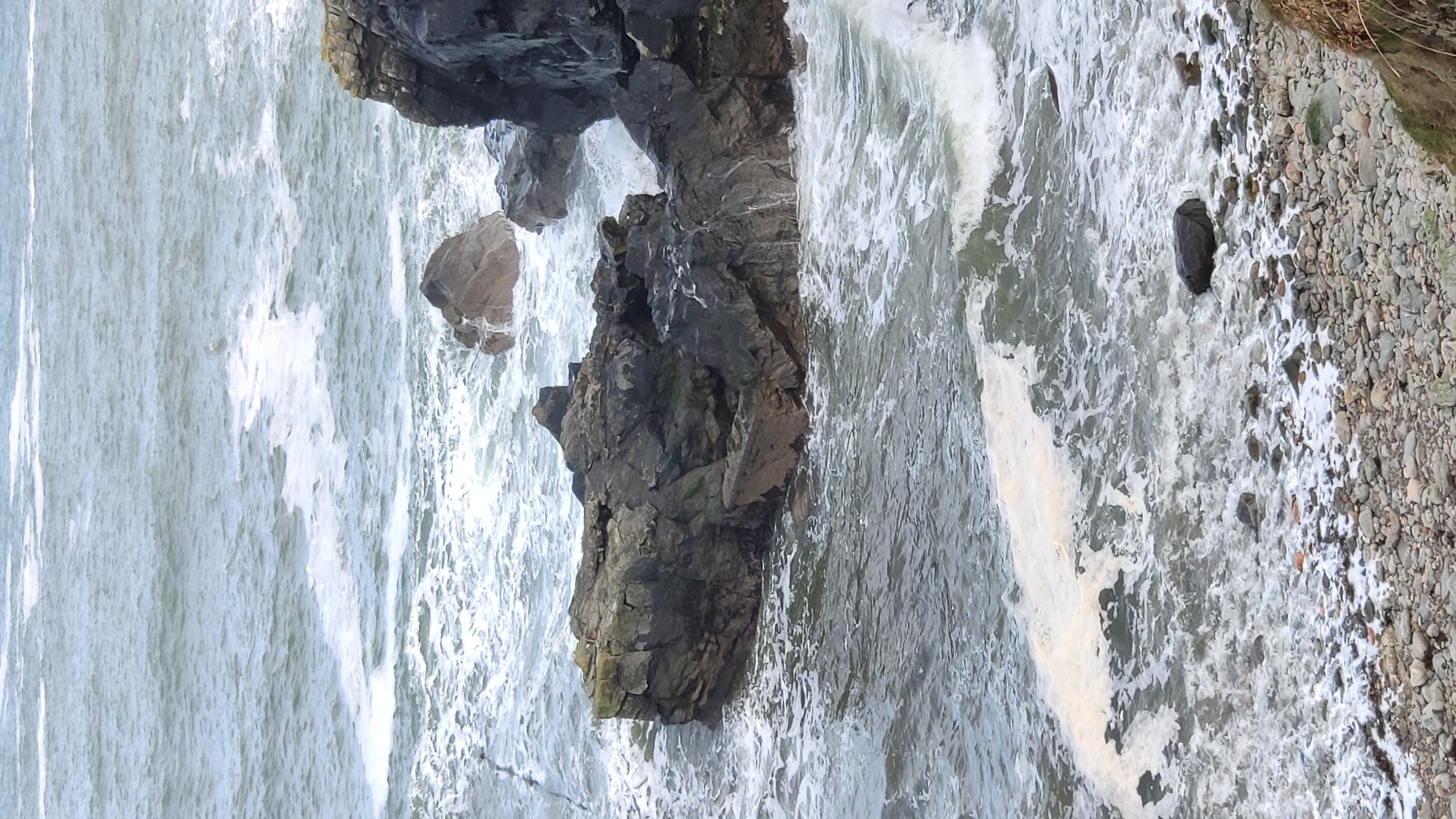
14/04/2023 | Concrete landing place on rock outcrop on south side of the bay. The top of the rock also appears to have been levelled. | joannahambly |
|
|||
|
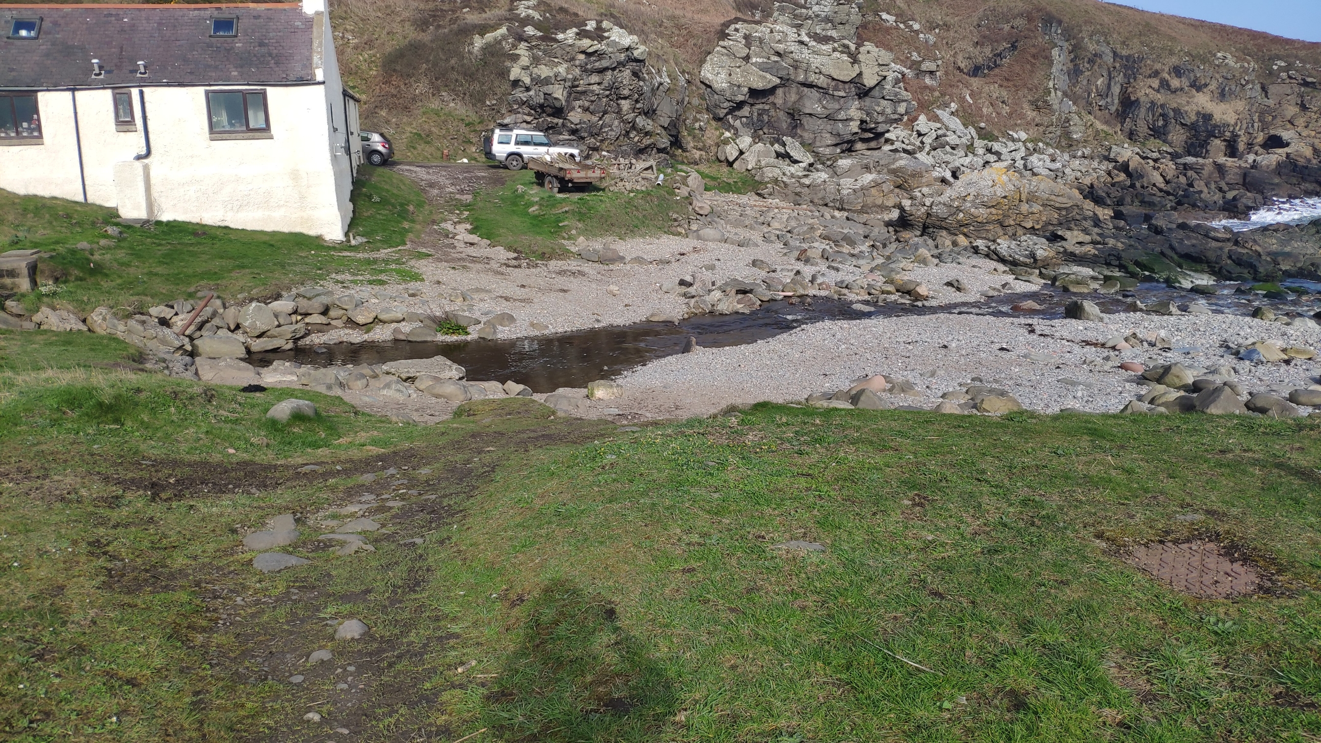
14/04/2023 | Ford, looking north | joannahambly |
|
|||
|
14/04/2023 | Concrete slipway with remains of iron rails. | joannahambly |
|
|||
|
14/04/2023 | Concrete landing platform, south side of bay. | joannahambly |
|
|||
|
14/04/2023 | South slipway still in use. | joannahambly |
|
|||
|
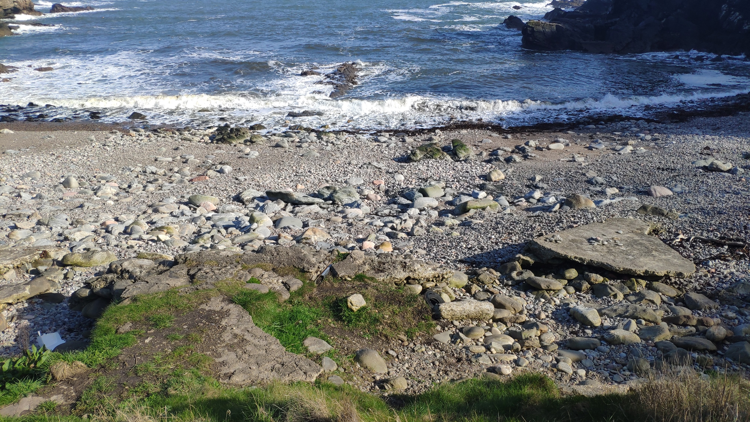
14/04/2023 | Remnants of pier depicted on 2nd edtion OS, now mostly destroyed. | joannahambly |
|
|||
|
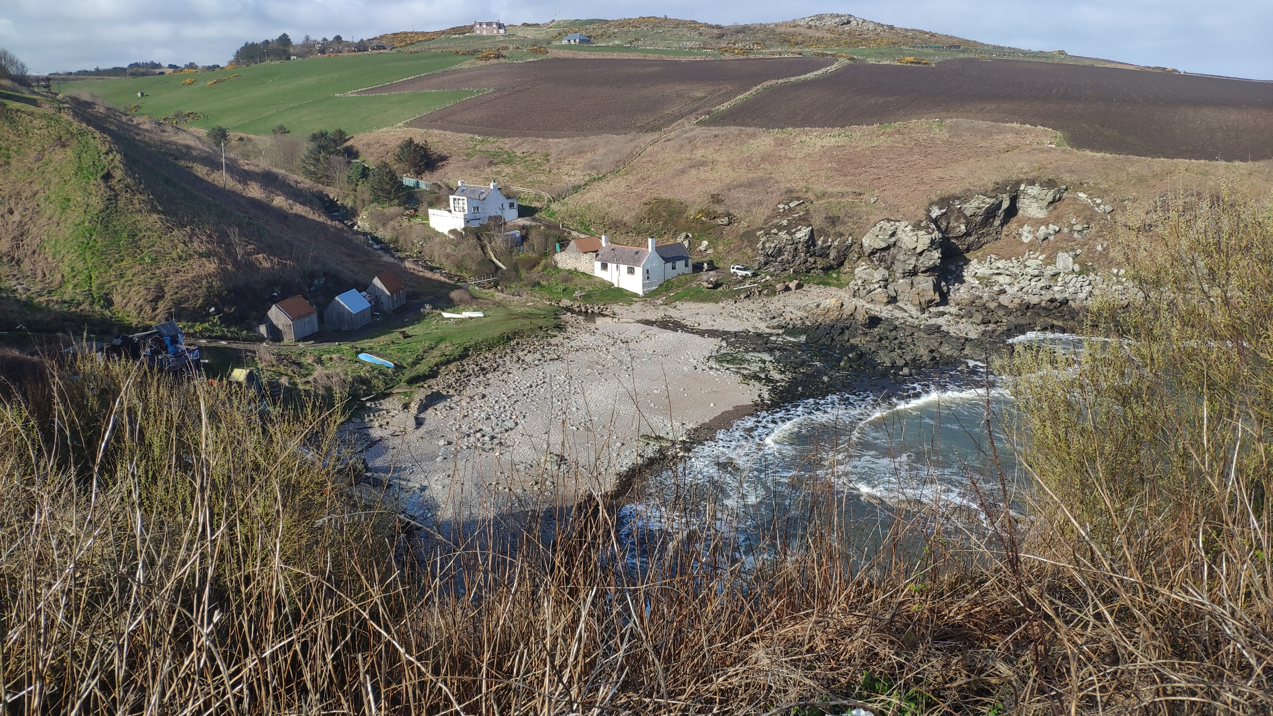
14/04/2023 | General view of harbour, looking north | joannahambly |
|
|||
Submitted updates
| Update id | Date | User | ||||||||||
|---|---|---|---|---|---|---|---|---|---|---|---|---|
| 4471 | 14/04/2023 | joannahambly | ||||||||||
|
||||||||||||