Nov 11, 2019
Excavation A hurricane-force storm hit the Western Isles in 2005, and did severe damage to the sandy machair landscape of the exposed west coast. The island of Baile Sear, just off North Uist was particularly hard-hit. Stone structures exposed in the eroding coast...

Oct 14, 2019
Survey, research and interpretation It is hard to believe now, but the lumps and bumps on the promontory at Eyemouth are the remains of a monumental fort built by the English in the 1540s and taken over and extended by the French in the 1550s. Eyemouth Fort played a...

Oct 14, 2019
Digital documentation and interpretation Explore virtual 4D Wemyss Caves Read the blogs: Part 1, Part 2 The coastline between East Wemyss and Buckhaven in Fife has been eroding rapidly from the mid-20th century, and shows no signs of abating. This short stretch of...

Apr 26, 2013
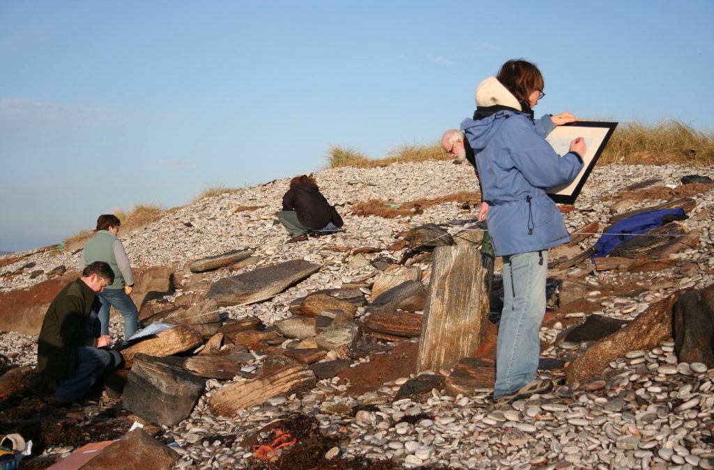
Hello from Orkney, where we’ve spent an amazing couple of weeks exploring eroding coastlines, and encountering world class archaeology in the best company of our SCHARP volunteers and new friends. It’s been the busiest, blowiest and wettest ShoreUPDATE trip yet, and...
Recent Comments