Hello from Orkney, where we’ve spent an amazing couple of weeks exploring eroding coastlines, and encountering world class archaeology in the best company of our SCHARP volunteers and new friends. It’s been the busiest, blowiest and wettest ShoreUPDATE trip yet, and we’ve enjoyed every minute of it.
The ShoreUPDATE team at Backaskaill Broch
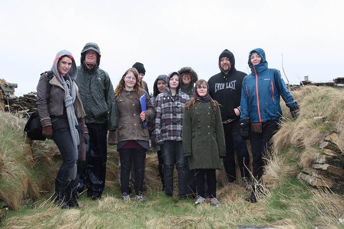
The Clestrain Gang. Our SHoreUPDATE group in Kirkwall taking shelter in a noust.
We met a great group of people at our first Orcadian training day in Kirkwall and braved the weather to record a beautifully-preserved stone-lined boat noust in Clestrain near Orphir.
Natalia talked about our CoastSCAPE photography and video project with art students at Orkney College.
We hope to build an exhibition based on young people’s take of the coastal heritage of their local areas through photography and film, which will be shown around Scotland over the next 2 years.
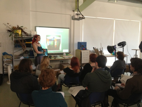
Natalia telling art students about the CoastSCAPE project
The island of Sanday was our next stop, a high-priority for us as its soft coastline and sandy beaches are very vulnerable to the powerful waves the island experiences.
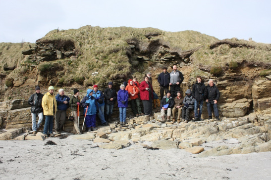
Cath in action expaining Backaskaill Broch to the group
Thanks to Cath Parker, the monument warden for Orkney, and Sanday resident, everybody knew we were coming and a little bit about what the project was about. As a result we enjoyed our busiest and most productive ShoreUPDATE event yet.
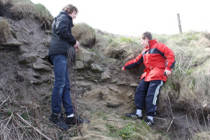
The boys point out their bone find at Backaskaill Broch
We were very lucky in being able to spend several days on the island, getting to know both the people and the archaeology; guiding new volunteers through the process of using the Sites at Risk Map to locate and research sites, recording the sites and their condition while out on the coast, and then submitting survey records through the project website.
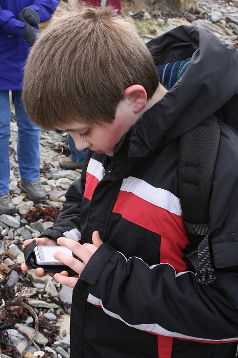
Bleddyn creating a new site record with the app
In order to see as many of Sanday’s spectacular archaeological sites as possible, we split into groups to visit different parts of the coast where some of the most vulnerable sites were to be found.
Highlights included a Neolithic chambered cairn perched precipitously on the eroding coast edge at Els Ness; the variety of remains relating to the kelp industry;
brochs half sectioned by the sea, revealing internal details and features; and settlement mounds containing evidence of hundreds of years of occupation clearly visible as the remain of walls and layer upon layer of deposits made up of food waste and ash swept from cooking fires.
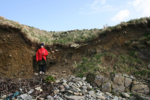
Thyrma being a human scale next to a beautiful cross-section through a kelp-burning pit
The wealth and variety of eroding sites provided the perfect opportunity for volunteers to learn about recording the wide-ranging and often complex sites that characterises the coastal archaeology of Sanday.
We thoroughly enjoyed visiting great sites and meeting local volunteers, enjoying the warmth of the welcome, Orcadian friendliness and hospitality, so it was a pleasant surprise to find that we had a bonus few hours extra on Sanday as a fully-booked ferry changed our plans.
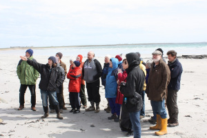
Sanday volunteers at the settlement mound at Newark
We took advantage of the opportunity to visit a few more of the top-priority sites around the island, and they certainly rewarded us for our effort. The settlement mound at Northskaill is a great example of clearly-stratified layers being revealed as the sea cuts a section across the site, while we were really intrigued by the remains at Cleat.

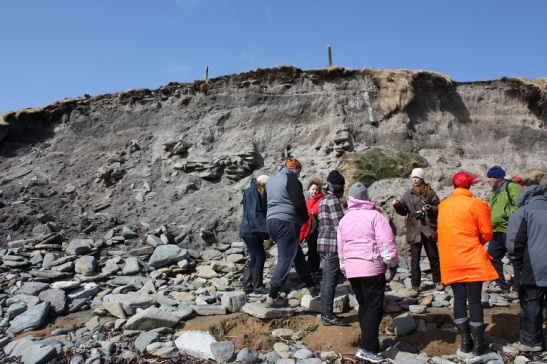
The settlement mound at Northskaill – what a site!
Here, in a coastal exposure, cists, structures, hearths and patches of burning are visible over a 50 metre stretch, where animal bones, fish bones, shell, fragments of burnt bone, burnt clay, charcoal and heat-cracked stone can be spotted in the exposed soils.
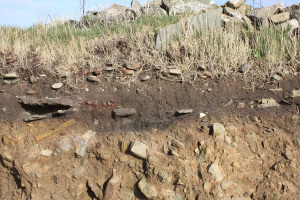
One of the many burnt deposits exposed in the eroding coast edge at Cleat
Cath will be organising trips to go and see these sites over the summer – so Sanday volunteers, make sure you take advantage of the opportunity because they really are amazing. There’s more than enough to record and monitor around the coast of the island for many more fascinating and exciting ShoreUPDATE survey days to come.
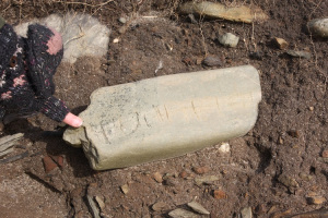
Viking runes or natural scratches? A stone in the eroding section at Cleat
Recent Comments